
Commencer
Avant d'essayer l'exemple de code, vous devez configurer votre environnement de développement. Pour en savoir plus, consultez Configurer un projet Flutter.
Afficher le code
Dart
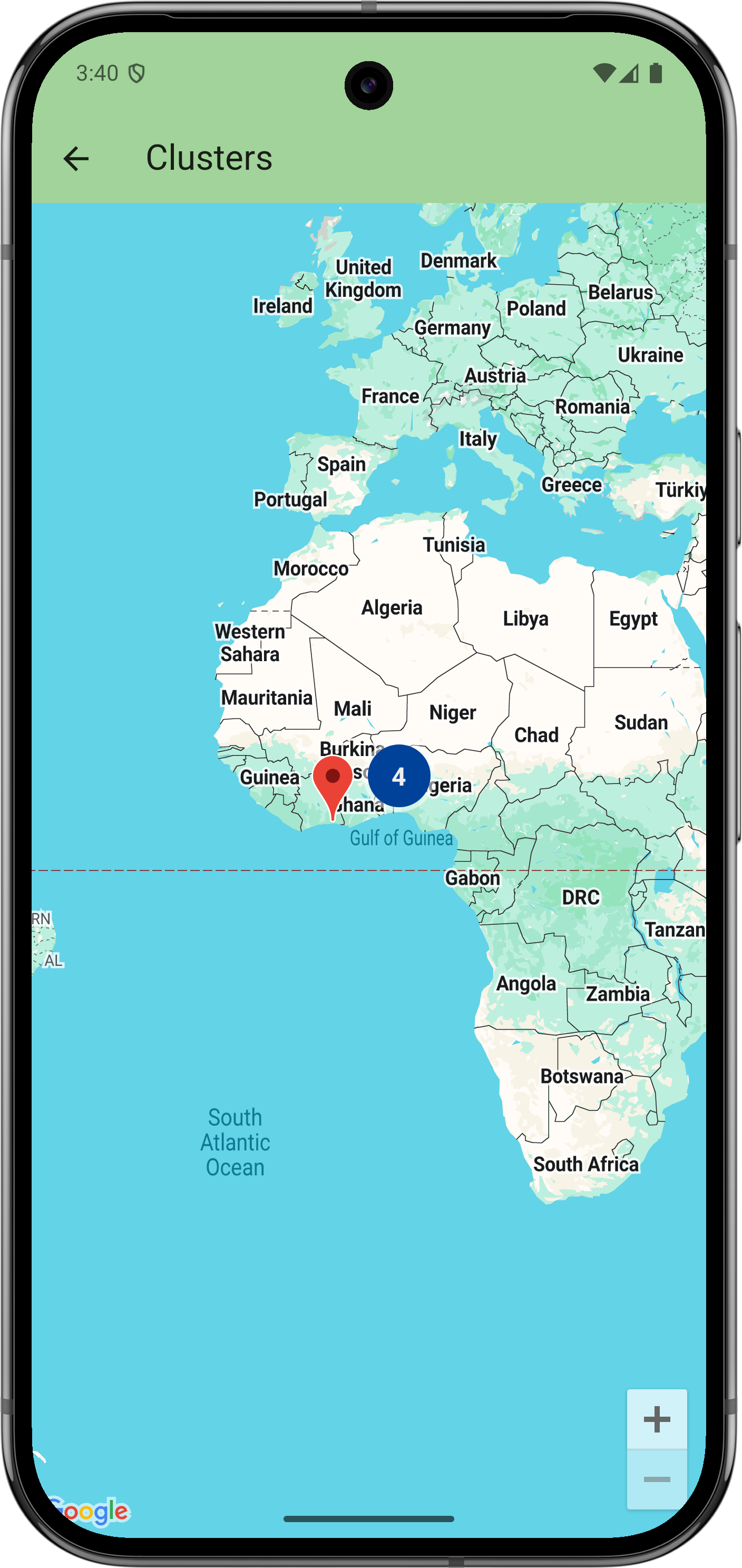
// Copyright 2025 Google LLC // // Licensed under the Apache License, Version 2.0 (the "License"); // you may not use this file except in compliance with the License. // You may obtain a copy of the License at // // https://www.apache.org/licenses/LICENSE-2.0 // // Unless required by applicable law or agreed to in writing, software // distributed under the License is distributed on an "AS IS" BASIS, // WITHOUT WARRANTIES OR CONDITIONS OF ANY KIND, either express or implied. // See the License for the specific language governing permissions and // limitations under the License. import 'package:flutter/material.dart'; import 'package:google_maps_flutter/google_maps_flutter.dart'; /// Defines a group of nearby markers as a cluster so that the map can /// collapse them into a single marker when appropriate. class ClustersSample extends StatelessWidget { ClustersSample({super.key}); final ClusterManager _myCluster = ClusterManager( clusterManagerId: ClusterManagerId('my cluster'), ); @override Widget build(BuildContext context) { return GoogleMap( initialCameraPosition: CameraPosition(target: LatLng(0, 0)), // You have to supply the list of clusters that are referred to // by the map's markers. // // Note: For clusters to work on the web, you *must* import an additional // JavaScript library. Read the web README for info: // https://pub.dev/packages/google_maps_flutter_web clusterManagers: {_myCluster}, markers: { // Google Maps will smartly cluster markers with the same // clusterManagerId. When zoomed in close enough, the cluster will // break up into individual markers. Marker( markerId: MarkerId('in 1'), position: LatLng(6.51, 3.37), clusterManagerId: _myCluster.clusterManagerId, ), Marker( markerId: MarkerId('in 2'), position: LatLng(6.64, 3.52), clusterManagerId: _myCluster.clusterManagerId, ), Marker( markerId: MarkerId('in 3'), position: LatLng(6.46, 3.58), clusterManagerId: _myCluster.clusterManagerId, ), Marker( markerId: MarkerId('in 4'), position: LatLng(6.85, 3.63), clusterManagerId: _myCluster.clusterManagerId, ), // Markers without a clusterManagerId will always show independently. Marker(markerId: MarkerId('out'), position: LatLng(5.31, -3.99)), }, ); } }
Étapes suivantes
Consultez l'ensemble complet des exemples sur GitHub:
Vous pouvez également cloner l'ensemble complet d'exemples pour les exécuter en local en exécutant les commandes suivantes:
git clone -b flutter_samples https://github.com/googlemaps-samples/flutter-maps-samples.gitcd flutter-samplesflutter pub get