-
MTBS 过火面积边界

“燃烧严重程度监测趋势”(MTBS) 烧毁区域边界数据集包含美国本土、阿拉斯加、夏威夷和波多黎各所有当前已完成的 MTBS 火灾的烧毁区域范围多边形。NBR 是“归一化燃烧比”的缩写,而 dNBR 是指… EROS 火灾 gtac MTBS 表格 美国农业部 -
监测烧伤严重程度趋势 (MTBS) 烧伤严重程度图片

火灾严重程度镶嵌图包含美国本土、阿拉斯加、夏威夷和波多黎各所有当前已完成的 MTBS 火灾的 MTBS 火灾严重程度类别的专题栅格图像。镶嵌的烧伤严重程度图像每年都会按美国各州和… EROS 火灾 森林 gtac 土地覆盖 Landsat 衍生 -
美国林务局景观变化监控系统 v2024.10(美国本土和美国境外)

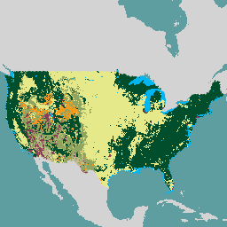
此产品是景观变化监测系统 (LCMS) 数据套件的一部分。该数据集显示了每个年份的 LCMS 建模变化、土地覆盖和/或土地利用类别,涵盖美国本土 (CONUS) 以及 CONUS 以外的地区 (OCONUS),包括阿拉斯加 (AK)、波多黎各… change-detection forest gtac landcover landuse landuse-landcover -
美国林务局树冠覆盖率 v2023-5(CONUS 和 OCONUS)

概览树冠覆盖率 (TCC) 数据套件由美国农业部林务局 (USFS) 制作,是基于遥感的年度地图输出,涵盖 1985 年至 2023 年。这些数据支持美国地质调查局 (US Geological … 森林 gtac landuse-landcover redcastle-resources usda usfs -
美国林务局 TreeMap v2016(美国本土)

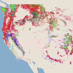
此产品是 TreeMap 数据套件的一部分。该数据集提供了 2016 年美国大陆整个森林覆盖范围内的森林特征(包括活树和死树的数量、生物量和碳)的详细空间信息。TreeMap v2016 包含一张图片,即… 生物质 碳 气候变化 美国本土 森林 森林生物质 -
美国林务局树形图 v2020

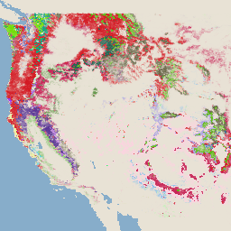
此产品是 TreeMap 数据套件的一部分。该数据集提供了 2020 年美国整个森林覆盖范围内的森林特征(包括活树和死树的数量、生物量和碳)的详细空间信息。TreeMap v2020 包含 22 个波段,分辨率为 30 x 30 米… 地上 生物质 碳 气候变化 美国本土 森林 -
USFS TreeMap v2022

此产品是 TreeMap 数据套件的一部分。该数据集提供了 2022 年美国整个森林覆盖范围内的森林特征(包括活树和死树的数量、生物量和碳)的详细空间信息。TreeMap v2022 包含 22 个波段的 30 x 30 米… 地上 生物质 碳 气候变化 美国本土 森林
Datasets tagged gtac in Earth Engine
[null,null,[],[],[]]