-
USGS Landsat 8 Level 2,Collection 2,Tier 1
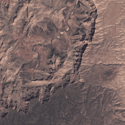
此数据集包含大气校正后的地表反射率和地表温度,这些数据均源自 Landsat 8 OLI/TIRS 传感器生成的数据。这些影像包含 5 个可见光和近红外 (VNIR) 波段以及 2 个短波红外 (SWIR) 波段,经过处理后可获得正射校正的地表反射率,以及 1 个热红外波段。 cfmask cloud fmask global l8sr landsat -
USGS Landsat 8 第 2 级、集合 2、层级 2

此数据集包含大气校正后的地表反射率和地表温度,这些数据均源自 Landsat 8 OLI/TIRS 传感器生成的数据。这些影像包含 5 个可见光和近红外 (VNIR) 波段以及 2 个短波红外 (SWIR) 波段,经过处理后可获得正射校正的地表反射率,以及 1 个热红外波段。 cfmask cloud fmask global l8sr landsat
Datasets tagged lc08 in Earth Engine
[null,null,[],[],["The content describes two datasets from USGS Landsat 8, both Level 2, Collection 2. Both contain atmospherically corrected surface reflectance and land surface temperature data from the Landsat 8 OLI/TIRS sensors. Each dataset includes 5 VNIR bands, 2 SWIR bands, and one thermal band, processed to orthorectified surface reflectance. The tags for each include: cfmask, cloud, fmask, global, l8sr, and landsat. The datasets are categorized as Tier 1 and Tier 2.\n"]]