-
USGS Landsat 8 Level 2, Collection 2, Tier 1
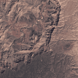
이 데이터 세트에는 Landsat 8 OLI/TIRS 센서의 데이터에서 도출된 대기 보정 표면 반사율과 지표면 온도가 포함되어 있습니다. 이러한 이미지 데이터에는 정사보정하여 표면 반사율로 처리된 가시광선 및 근적외선(VNIR) 밴드 5개와 단파 적외선(SWIR) 밴드 2개, 처리된 열 적외선(TIR) 밴드 1개가 포함되어 있습니다. cfmask cloud fmask global l8sr landsat -
USGS Landsat 8 Level 2, Collection 2, Tier 2

이 데이터 세트에는 Landsat 8 OLI/TIRS 센서의 데이터에서 도출된 대기 보정 표면 반사율과 지표면 온도가 포함되어 있습니다. 이러한 이미지 데이터에는 정사보정하여 표면 반사율로 처리된 가시광선 및 근적외선(VNIR) 밴드 5개와 단파 적외선(SWIR) 밴드 2개, 처리된 열 적외선(TIR) 밴드 1개가 포함되어 있습니다. cfmask cloud fmask global l8sr landsat
Datasets tagged lc08 in Earth Engine
[null,null,[],[],["The content describes two datasets from USGS Landsat 8, both Level 2, Collection 2. Both contain atmospherically corrected surface reflectance and land surface temperature data from the Landsat 8 OLI/TIRS sensors. Each dataset includes 5 VNIR bands, 2 SWIR bands, and one thermal band, processed to orthorectified surface reflectance. The tags for each include: cfmask, cloud, fmask, global, l8sr, and landsat. The datasets are categorized as Tier 1 and Tier 2.\n"]]