-
USGS Landsat 5 Level 2, Collection 2, Tier 1
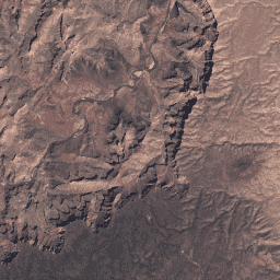
이 데이터 세트에는 Landsat TM 센서의 데이터에서 도출된 대기 보정 표면 반사율과 지표면 온도가 포함되어 있습니다. 이러한 이미지 데이터에는 정사보정하여 표면 반사율로 처리된 가시광선 및 근적외선(VNIR) 밴드 4개와 단파 적외선(SWIR) 밴드 2개, 처리된 열 적외선(TIR) 밴드 1개가 포함되어 있습니다. cfmask cloud fmask global landsat lasrc -
USGS Landsat 5 Level 2, Collection 2, Tier 2

이 데이터 세트에는 Landsat TM 센서의 데이터에서 도출된 대기 보정 표면 반사율과 지표면 온도가 포함되어 있습니다. 이러한 이미지 데이터에는 정사보정하여 표면 반사율로 처리된 가시광선 및 근적외선(VNIR) 밴드 4개와 단파 적외선(SWIR) 밴드 2개, 처리된 열 적외선(TIR) 밴드 1개가 포함되어 있습니다. cfmask cloud fmask global landsat lasrc
Datasets tagged lt05 in Earth Engine
[null,null,[],[],[]]