
আপনি একটি 3D মানচিত্রে পলিলাইন যোগ করতে পারেন।
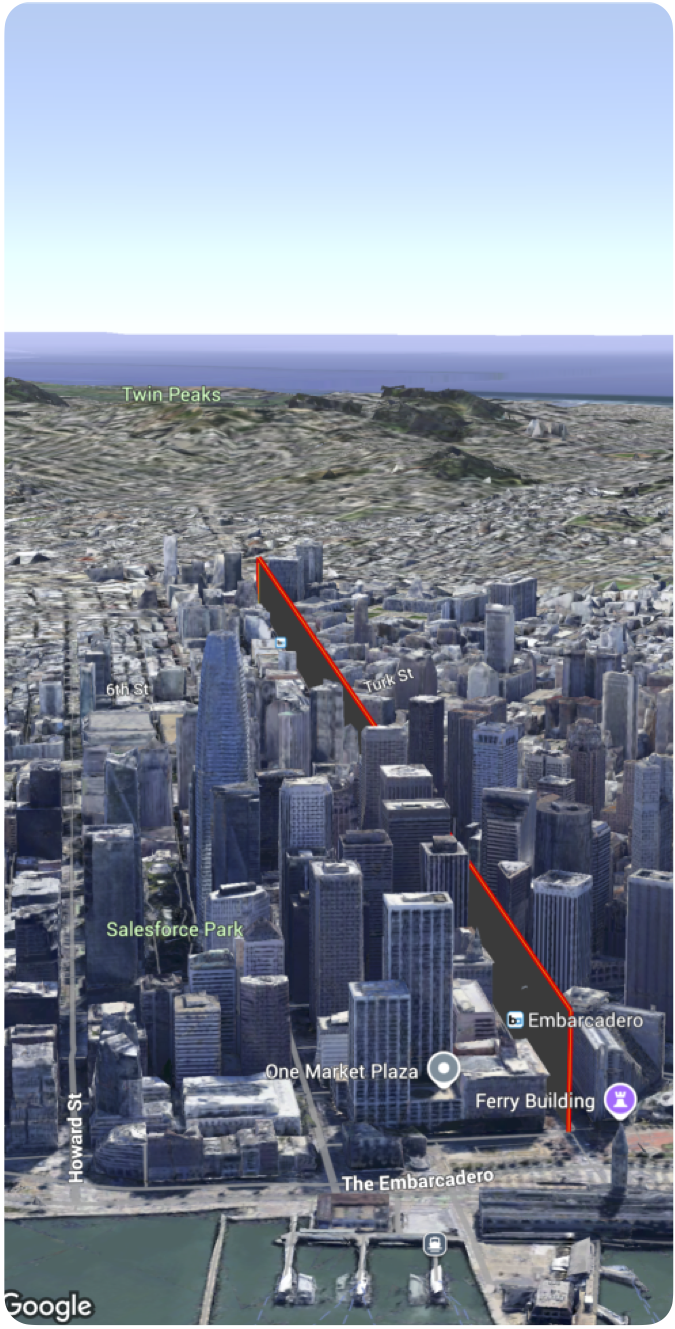
নিম্নলিখিত কোড নমুনাটি দেখায় কিভাবে Polyline struct ব্যবহার করে একটি পলিলাইন যোগ করতে এবং ম্যাপে তার অবস্থান নির্ধারণ করতে হয়।
  Polyline(path: [
    .init(latitude: 37.7749, longitude: -122.4194, altitude: 100),
    .init(latitude: 37.7750, longitude: -122.4193, altitude: 100),
    .init(latitude: 37.7751, longitude: -122.4192, altitude: 100)
    ]
    .stroke(.init(strokeColor: .red, strokeWidth: 5.0, outerColor: .blue, outerWidth: 0.2))
    .contour(.init(isGeodesic: false, extruded: true, drawOccludedSegments: true)))