- Доступность набора данных
- 2012-01-01T00:00:00Z–2012-01-01T00:00:00Z
- Поставщик наборов данных
- АН
- Теги
Описание
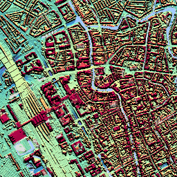
ЦМР AHN — это цифровая модель рельефа с разрешением 0,5 м, покрывающая территорию Нидерландов. Она была создана на основе данных лидара, полученных весной с 2007 по 2012 год.
Эта версия содержит как образцы на уровне земли, так и объекты, расположенные над ней (здания, мосты, деревья и т. д.). Облако точек было преобразовано в сетку с шагом 0,5 м с использованием метода обратного взвешивания квадратов расстояний.
Группы
Размер пикселя
0,5 метра
Группы
| Имя | Единицы | Размер пикселя | Описание |
|---|---|---|---|
elevation | м | метров | Высота |
Условия эксплуатации
Условия эксплуатации
Наборы данных AHN доступны в формате Open Data. Это означает, что любой может использовать их бесплатно и без ограничений. Подробнее см. на странице Open Data . Загрузки доступны в соответствии с лицензией CC-0 .
Исследуйте с Earth Engine
Редактор кода (JavaScript)
var dataset = ee.Image('AHN/AHN2_05M_RUW');
var elevation = dataset.select('elevation');
var elevationVis = {
  min: -5.0,
  max: 30.0,
};
Map.setCenter(5.76583, 51.855276, 16);
Map.addLayer(elevation, elevationVis, 'Elevation');