-
USGS 3DEP 10 米国家地图无缝(1/3 角秒)
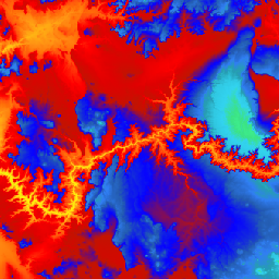
这是美国无缝 3DEP DEM 数据集,全面覆盖美国本土 48 个州、夏威夷和美国属地。阿拉斯加州的部分地区现已覆盖,并且正在扩大覆盖范围,以实现全州覆盖,这是阿拉斯加州地图绘制计划的一部分。地面间距为… 3DEP DEM 海拔 海拔-地形 地球物理 地形 -
USGS 3DEP 1 米国家地图
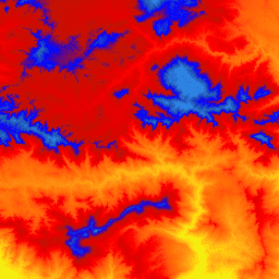
这是 3D 高程计划 (3DEP) 提供的像素大小为 1 米的平铺图片集合。3DEP 数据集是美国国家地图的海拔图层,可为地球科学研究和美国境内的地图应用提供基础海拔信息。 3DEP DEM 海拔 海拔-地形 地球物理 地形 -
USGS 3DEP National Map Spatial Metadata 1/3 Arc-Second (10m)
此表包含 3DEP 10 米 DEM 资产的元数据。工作单元范围空间元数据 (WESM) 包含当前的激光雷达数据可用性和有关激光雷达项目的基本信息,包括激光雷达质量级别、数据采集日期以及指向项目级元数据的链接。查看更多详情… 3dep elevation-topography table usgs
Datasets tagged 3dep in Earth Engine
[null,null,[],[],["The USGS 3DEP dataset offers seamless DEM data for the US, including the 48 contiguous states, Hawaii, and US territories, with partial coverage of Alaska that is being expanded. This data is available at 10m and 1m resolution. The 10m DEM has corresponding metadata table for lidar data availability. This 3DEP information serves as the elevation layer for the National Map and supports earth science studies and mapping applications.\n"]]