-
Global Aboveground and Belowground Biomass Carbon Density Maps
This dataset provides temporally consistent and harmonized global maps of aboveground and belowground biomass carbon density for the year 2010 at a 300-m spatial resolution. The aboveground biomass map integrates land-cover specific, remotely sensed maps of woody, grassland, cropland, and tundra biomass. Input maps were … aboveground biomass carbon density forest nasa -
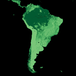
WHRC Pantropical National Level Carbon Stock Dataset
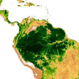
A national-level map of above-ground live woody biomass density for tropical countries at 500m. This dataset was assembled from a combination of co-located field measurements, LiDAR observations, and imagery recorded from the Moderate Resolution Imaging Spectroradiometer (MODIS). aboveground biomass carbon geophysical umd
[]
[]
{}
[null,null,[]]