-
Global Forest Canopy Height, 2005
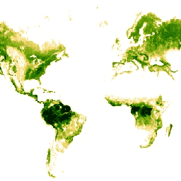
This dataset represents global tree heights based on a fusion of spaceborne-lidar data (2005) from the Geoscience Laser Altimeter System (GLAS) and ancillary geospatial data. See Simard et al. (2011) for details. canopy forest geophysical jpl nasa -
NEON Canopy Height Model (CHM)
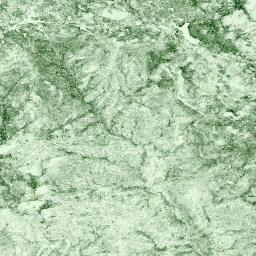
Height of the top of canopy above bare earth (Canopy Height Model; CHM). The CHM is derived from the Lidar point cloud, and is generated by creating a continuous surface of canopy height estimates across the entire spatial domain of the Lidar survey. The point … canopy forest lidar publisher-dataset vegetation
[]
[]