LSIB 2017: Крупномасштабные международные граничные полигоны, подробные 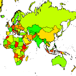
Географическое управление США предоставляет набор данных «Крупномасштабные международные границы» (LSIB). Он составлен на основе двух других наборов данных: линейного векторного файла LSIB и данных «Мировые векторные береговые линии» (WVS) Национального агентства геопространственной разведки (NGA). Внутренние границы соответствуют… границы страны инфраструктура -границы политическая таблица LSIB 2017: Крупномасштабные международные граничные полигоны, упрощенные 
Географическое управление США предоставляет набор данных о крупных международных границах (LSIB). Подробная версия (2013 г.) основана на двух других наборах данных: линейном векторном файле LSIB и векторных данных о мировых береговых линиях (WVS) Национального агентства геопространственной разведки (NGA). Внутренние границы… границы страны инфраструктура -границы политическая таблица
Datasets tagged dos in Earth Engine
[null,null,[],[],[]]