-
GFPLAIN250m: מערך נתונים גלובלי של מישורי הצפה ברזולוציה של 250 מ'

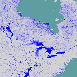
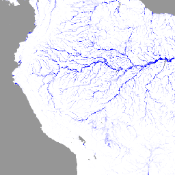
הנתונים ב-GFPLAIN250m כוללים נתוני רסטר של מישורי הצפה בכדור הארץ, שזוהו באמצעות גישה גיאומורפית שמוצגת במאמר של נארדי ואחרים (2006, 2018). מערך הנתונים של אזורי ההצפה ברזולוציה של 250 מ' נגזר מעיבוד של מודל הגובה הדיגיטלי של נאס"א SRTM שנאסף מכתובת http://srtm.csi.cgiar.org/, ובפרט מגרסה 4.1 של SRTM ברזולוציה של 250 מ' … flood monitoring surface-ground-water -
Global Flood Database v1 (2000-2018)

במאגר הנתונים Global Flood Database יש מפות של היקף ההצפות והפיזור שלהן לאורך זמן ב-913 אירועי הצפות שהתרחשו בין 2000 ל-2018. מידע נוסף מופיע במאמר בכתב עת שקשור לנושא. אספנו אירועי שיטפונות מ-Dartmouth Flood Observatory והשתמשנו בהם כדי לאסוף תמונות MODIS. המספר שנבחר 913 … flood surface surface-ground-water water -
JRC Global River Flood Hazard Maps Version 2.1
מפות הסיכון לשיטפונות בנהרות ברחבי העולם הן קבוצת נתונים מחולקת לרשתות שמייצגת הצפות לאורך רשת הנהרות, עבור שבע תקופות שונות של חזרה על שיטפונות (מ-1 ל-10 שנים עד 1 ל-500 שנים). נתוני הזרימה בנהר שמשמשים כקלט למפות החדשות נוצרים באמצעות המודל ההידרולוגי בקוד פתוח … flood monitoring surface-ground-water wri -
WRI Aqueduct Baseline Annual Version 4.0

Aqueduct 4.0 הוא הגרסה האחרונה של מסגרת הסיכון למים של WRI, שנועדה לתרגם נתונים הידרולוגיים מורכבים לאינדיקטורים אינטואיטיביים של סיכון שקשור למים. מערך הנתונים הזה כולל מסגרת מקיפה עם 13 אינדיקטורים של סיכוני מים שקשורים לכמות, לאיכות ולמוניטין. ל-5 מתוך … aqueduct flood monitoring surface-ground-water table wri -
WRI Aqueduct Baseline Monthly Version 4.0

Aqueduct 4.0 הוא הגרסה האחרונה של מסגרת הסיכון למים של WRI, שנועדה לתרגם נתונים הידרולוגיים מורכבים לאינדיקטורים אינטואיטיביים של סיכון שקשור למים. מערך הנתונים הזה כולל מסגרת מקיפה עם 13 אינדיקטורים של סיכוני מים שקשורים לכמות, לאיכות ולמוניטין. ל-5 מתוך … aqueduct flood monitoring surface-ground-water table wri -
WRI Aqueduct Floods Hazard Maps Version 2
הנתונים של Aqueduct Floods מודדים את הסיכונים לשיטפונות בנהרות ובאזורי חוף בתנאי הבסיס הנוכחיים ובתחזיות לעתיד בשנים 2030, 2050 ו-2080. בנוסף למיפוי סיכונים ולסיוע בהערכת סיכונים, Aqueduct Floods עוזרת לבצע ניתוח מקיף של עלויות ותועלות כדי להעריך את הערך של סוללה… flood monitoring surface-ground-water wri -
WRI Aqueduct Future Annual Version 4.0

Aqueduct 4.0 הוא הגרסה האחרונה של מסגרת הסיכון למים של WRI, שנועדה לתרגם נתונים הידרולוגיים מורכבים לאינדיקטורים אינטואיטיביים של סיכון שקשור למים. מערך הנתונים הזה כולל מסגרת מקיפה עם 13 אינדיקטורים של סיכוני מים שקשורים לכמות, לאיכות ולמוניטין. ל-5 מתוך … aqueduct flood monitoring surface-ground-water table wri
Datasets tagged flood in Earth Engine
[null,null,[],[],["The datasets provide information on global flood events and water risk. The Global Flood Database maps 913 flood events from 2000-2018 using MODIS imagery. The JRC Global River Flood Hazard Maps offer gridded data on river inundation for various flood return periods. WRI Aqueduct Floods data assess riverine and coastal flood risks, including future projections. Aqueduct 4.0 datasets contain 13 water risk indicators related to quantity, quality, and reputational concerns.\n"]]