-
핀란드 NRG NLS 직교사진 50cm(Mavi)

NLS Orthophotos는 핀란드 전역을 포함하는 항공 사진 데이터 세트입니다. 이 데이터는 Mavi(농촌 사무국)에서 제공합니다. 오르토포토는 여러 개별 항공 사진의 조합입니다. 직교 사진 형식의 항공 사진 데이터 세트는 최신 데이터 세트로 제공됩니다. falsecolor finland nrg orthophotos -
핀란드 NRG NLS 정사영상 50cm(SMK)

NLS Orthophotos는 핀란드 전역을 포함하는 항공 사진 데이터 세트입니다. 이 데이터는 SMK(이전 약어 SMK인 에너지 기관)에서 제공합니다. 오르토포토는 여러 개별 항공 사진의 조합입니다. 직교 사진 형식의 항공 사진 데이터 세트는 가장 … falsecolor finland nrg orthophotos smk -
라트비아 컬러 적외선 (CIR) 오르토포토
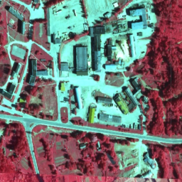
라트비아에서는 TKS-93 지도 시트 구분 (1:10000 지도 시트는 실제 5x5km에 해당)에 따라 라트비아 좌표계 LKS-92 TM으로 정사영 지도 시트가 준비됩니다. 직교사진 지도는 라트비아 전역을 대상으로 … 축척으로 준비됩니다. latvia nrg orthophotos
Datasets tagged nrg in Earth Engine
[null,null,[],[],[]]