-
Finland NRG NLS orthophotos 50 cm by Mavi
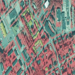
Ortofotomapy NLS to zbiór zdjęć lotniczych obejmujący całą Finlandię. Dane te pochodzą z Mavi(Agencji ds. Obszarów Wiejskich). Ortofotomapa to połączenie kilku pojedynczych zdjęć lotniczych. Zbiór danych zdjęć lotniczych w formacie ortofotomapy jest dostępny jako najnowszy zbiór danych… falsecolor finland nrg orthophotos -
Finland NRG NLS orthophotos 50 cm by SMK

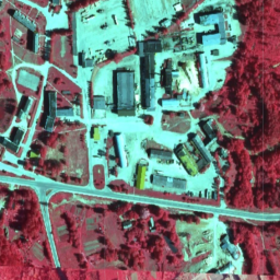
Ortofotomapy NLS to zbiór zdjęć lotniczych obejmujący całą Finlandię. Dane te pochodzą z SMK(Agencji Energii, wcześniej SMK). Ortofotomapa to połączenie kilku pojedynczych zdjęć lotniczych. Zbiór danych zdjęć lotniczych w formacie ortofotomapy jest dostępny jako najbardziej … falsecolor finland nrg orthophotos smk -
Ortofotomapy w podczerwieni kolorowej (CIR) z Łotwy
Na Łotwie ortofotomapy są przygotowywane w łotewskim systemie współrzędnych LKS-92 TM zgodnie z podziałem arkuszy mapy TKS-93 (arkusz mapy w skali 1:10000 odpowiada 5 x 5 km w terenie). Ortofotomapy są przygotowywane dla całego terytorium Łotwy w skali … latvia nrg orthophotos
Datasets tagged nrg in Earth Engine
[null,null,[],[],[]]