-
GLIMS 2023: 우주에서 측정한 전 세계 육지 빙하

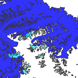
우주에서 측정한 전 세계 육지 빙하 (GLIMS)는 전 세계의 추정 빙하 200,000개를 반복적으로 조사하는 것을 목표로 하는 국제 이니셔티브입니다. 이 프로젝트는 빙하 면적, 도형, 표면 속도, 눈 선 측정값을 포함하여 전 세계적으로 포괄적인 육지 빙하 목록을 만드는 것을 목표로 합니다. 빙권 빙하 glims 얼음 토지 피복 nasa -
GLIMS Current: 우주에서 측정한 전 세계 육지 빙하
우주에서 측정한 전 세계 육지 빙하 (GLIMS)는 전 세계의 추정 빙하 200,000개를 반복적으로 조사하는 것을 목표로 하는 국제 이니셔티브입니다. 이 프로젝트는 빙하 면적, 도형, 표면 속도, 눈 선 측정값을 포함하여 전 세계적으로 포괄적인 육지 빙하 목록을 만드는 것을 목표로 합니다. 빙권 빙하 glims 얼음 토지 피복 nasa -
MOD10A1.061 Terra 눈 덮임 일일 전 세계 500m
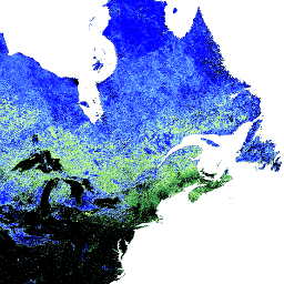
MOD10A1 V6.1 눈 덮임 일일 전 세계 500m 제품에는 눈 덮임, 눈 반사율, 부분 눈 덮임, 품질 평가 (QA) 데이터가 포함되어 있습니다. 눈 덮임 데이터는 정규화된 차이 눈 지수 (NDSI) 및 기타 기준 테스트를 사용하는 눈 매핑 알고리즘을 기반으로 합니다. 일반 … 반사율 빙권 일일 지구물리학적 전 세계 modis -
MOD10A2.061 Terra 눈 덮임 8일 L3 전 세계 500m
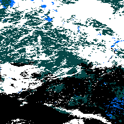
MOD10A2는 Terra 위성의 MODIS에서 제공하는 눈 덮임 데이터 세트입니다. 이 데이터 세트는 8일 동안의 최대 눈 덮임 범위를 500m 해상도로 보고합니다. 8일 합성 기간은 정확한 지상 트랙 반복이기 때문에 선택되었습니다. 빙권 일일 지구물리학적 전 세계 modis nasa -
MYD10A1.061 Aqua 눈 덮임 일일 전 세계 500m

MYD10A1 V6 눈 덮임 일일 전 세계 500m 제품에는 눈 덮임, 눈 반사율, 부분 눈 덮임, 품질 평가 (QA) 데이터가 포함되어 있습니다. 눈 덮임 데이터는 정규화된 차이 눈 지수 (NDSI) 및 기타 기준 테스트를 사용하는 눈 매핑 알고리즘을 기반으로 합니다. 일반 … 반사율 aqua 빙권 일일 지구물리학적 전 세계
Datasets tagged nsidc in Earth Engine
[null,null,[],[],["GLIMS aims to inventory 200,000 glaciers globally, measuring area, geometry, surface velocity, and snow line. MOD10A1 provides daily global snow cover data, including albedo and fractional cover, at 500m resolution, using an NDSI-based algorithm. MOD10A2 tracks the maximum snow cover extent over eight-day periods at 500m resolution. MYD10A1 similarly offers daily global snow data, including albedo and fractional snow cover, at 500m, and is based on an NDSI algorithm.\n"]]