-
GPW Annual Dominant Class of Grasslands v1
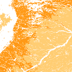
Ten zbiór danych zawiera globalne roczne mapy klas dominujących użytków zielonych (uprawianych i naturalnych/półnaturalnych) z lat 2000–2022 w rozdzielczości przestrzennej 30 m. Mapa zasięgu użytków zielonych, opracowana w ramach inicjatywy Land & Carbon Lab Global Pasture Watch, obejmuje wszystkie typy pokrycia terenu, które zawierają co najmniej… global global-pasture-watch land landcover landuse landuse-landcover -
GPW Annual Probabilities of Cultivated Grasslands v1
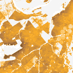
Ten zbiór danych zawiera globalne roczne mapy prawdopodobieństwa występowania uprawianych użytków zielonych w latach 2000–2022 w rozdzielczości przestrzennej 30 m. Mapa obszarów trawiastych została opracowana w ramach inicjatywy Land & Carbon Lab Global Pasture Watch. Obejmuje ona wszystkie rodzaje pokrycia terenu, które zawierają co najmniej 30% … global global-pasture-watch land landcover landuse landuse-landcover -
Roczne prawdopodobieństwa występowania naturalnych i półnaturalnych użytków zielonych w GPW w wersji 1
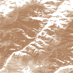
Ten zbiór danych zawiera globalne roczne mapy prawdopodobieństwa występowania naturalnych i półnaturalnych łąk w latach 2000–2022 w rozdzielczości przestrzennej 30 m. Mapa obszarów trawiastych została opracowana w ramach inicjatywy Land & Carbon Lab Global Pasture Watch. Obejmuje ona wszystkie rodzaje pokrycia terenu, które zawierają co najmniej 30% … global global-pasture-watch land landcover landuse landuse-landcover
Datasets tagged pasture in Earth Engine
[null,null,[],[],[]]