-
Densité de carbone de la biomasse au-dessus et en dessous du sol du WCMC

Cet ensemble de données représente le stockage du carbone terrestre au-dessus et en dessous du sol (tonnes (t) de C par hectare (ha)) pour environ 2010. L'ensemble de données a été construit en combinant les ensembles de données publics les plus fiables et en les superposant à la carte de couverture terrestre ESA CCI pour l'année 2010 (ESA, … biomass carbon forest-biomass wcmc -
WDOECM : autres mesures de conservation efficaces basées sur les zones (points)

Zone géographiquement définie autre qu'une zone protégée, qui est régie et gérée de manière à obtenir des résultats positifs et durables à long terme pour la conservation in situ de la biodiversité, avec les fonctions et services écosystémiques associés et, le cas échéant, les fonctions et services culturels, spirituels, socio-économiques et autres fonctions et services locaux… boundaries ecosystems iucn mpa oceans protected -
WDOECM : autres mesures de conservation efficaces basées sur des zones (polygones)

Zone géographiquement définie autre qu'une zone protégée, qui est régie et gérée de manière à obtenir des résultats positifs et durables à long terme pour la conservation in situ de la biodiversité, avec les fonctions et services écosystémiques associés et, le cas échéant, les fonctions et services culturels, spirituels, socio-économiques et autres fonctions et services locaux… boundaries ecosystems iucn mpa oceans protected -
WDPA : base de données mondiale sur les aires protégées (points)
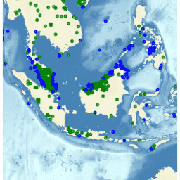
La base de données mondiale sur les aires protégées (WDPA) est la source d'informations la plus à jour et la plus complète sur les aires protégées. Elle est mise à jour tous les mois à partir des informations fournies par les gouvernements, les organisations non gouvernementales, les propriétaires fonciers et les communautés. Il est géré par le Centre mondial de surveillance de la conservation de la nature du Programme des Nations Unies pour l'environnement (PNUE-WCMC) avec … boundaries ecosystems iucn mpa oceans protected -
WDPA : base de données mondiale sur les aires protégées (polygones)

La base de données mondiale sur les aires protégées (WDPA) est la source d'informations la plus à jour et la plus complète sur les aires protégées. Elle est mise à jour tous les mois à partir des informations fournies par les gouvernements, les organisations non gouvernementales, les propriétaires fonciers et les communautés. Il est géré par le Centre mondial de surveillance de la conservation de la nature du Programme des Nations Unies pour l'environnement (PNUE-WCMC) avec … boundaries ecosystems iucn mpa oceans protected
Datasets tagged wcmc in Earth Engine
[null,null,[],[],[]]