
L'exemple de code suivant montre comment utiliser
CameraRestriction
pour limiter à la fois les limites géographiques de la caméra et les valeurs de
son altitude, de son cap et de son inclinaison.
// Add imports and define constants
import com.google.android.gms.maps3d.model.AltitudeMode
import com.google.android.gms.maps3d.model.LatLngAltitude
import com.google.android.gms.maps3d.model.cameraRestriction
import com.google.android.gms.maps3d.model.latLngAltitude
import com.google.android.gms.maps3d.model.latLngBounds
import com.google.android.gms.maps3d.model.polygonOptions
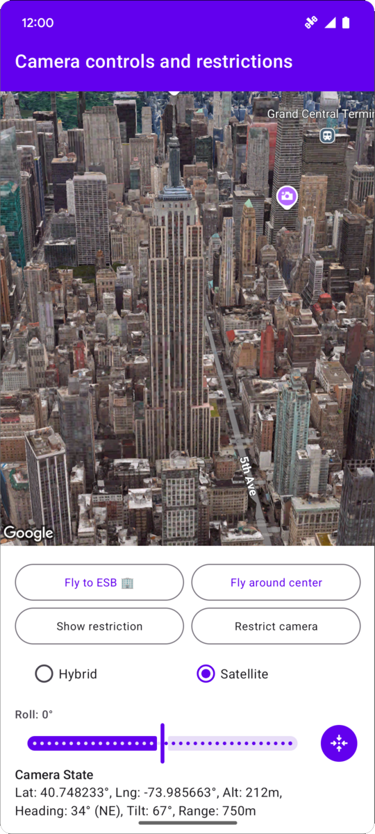
const val EMPIRE_STATE_BUILDING_LATITUDE = 40.748233
const val EMPIRE_STATE_BUILDING_LONGITUDE = -73.985663
private const val NYC_SOUTH_WEST_LAT = 40.68563088976172
private const val NYC_SOUTH_WEST_LNG = -74.05030430240065
private const val NYC_NORTH_EAST_LAT = 40.85649214337128
private const val NYC_NORTH_EAST_LNG = -73.80240973771173
private const val MAX_ALTITUDE_NYC_METERS = 10000.0
private const val MIN_ALTITUDE_NYC_METERS = 500.0
private val nycBounds = latLngBounds {
northEastLat = NYC_NORTH_EAST_LAT
northEastLng = NYC_NORTH_EAST_LNG
southWestLat = NYC_SOUTH_WEST_LAT
southWestLng = NYC_SOUTH_WEST_LNG
}
// Define the restrictions
val nycCameraRestriction = cameraRestriction {
minAltitude = MIN_ALTITUDE_NYC_METERS
maxAltitude = MAX_ALTITUDE_NYC_METERS
minHeading = 0.0
maxHeading = 360.0
minTilt = 0.0
maxTilt = 90.0
bounds = nycBounds
}