
আপনি একটি 3D ম্যাপে আপনার নিজের ইম্পোর্ট করা 3D মডেল যোগ করতে পারেন।
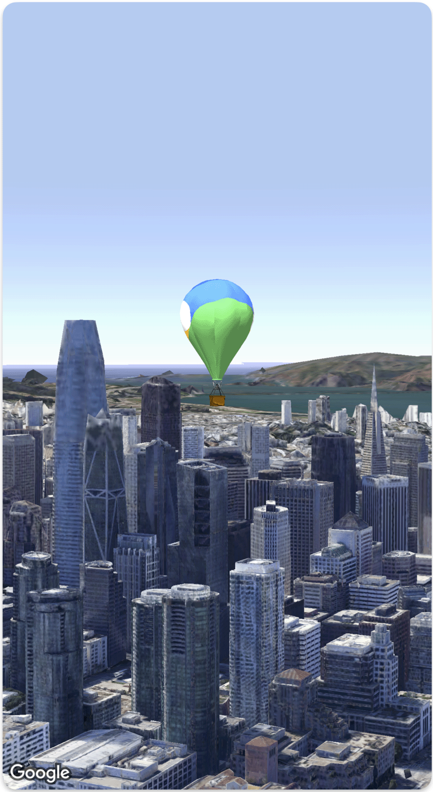
নিম্নলিখিত কোড নমুনাটি দেখায় কিভাবে Model struct ব্যবহার করে একটি 3D মডেল যুক্ত করতে এবং মানচিত্রে তার অবস্থান নির্ধারণ করতে হয়।
struct SimpleModelDemo: View {
  @State var camera: Camera = .init(
    center: .init(latitude: 37.791376, longitude: -122.397571,  altitude: 240),
    heading: 288.0,
    tilt: 88.0,
    roll: 0.0,
    range: 1500)
  @State var balloonModel: Model = .init(
    position: .init(
      LatLngAltitude(
      latitude: 37.7845812,
      longitude: -122.3660241,
      altitude: 585),
    url: URL(string: "") ?? URL(fileURLWithPath: fileUrl),
    altitudeMode: .relativeToMesh,
    scale: .init(x: 5, y: 5, z: 5),
    orientation: .init(heading: 0, tilt: 0, roll: 0)
  )
  var body: some View {
    Map(camera: $camera, mode: .satellite) {
        balloonModel
    }
  }
}
private let fileUrl = Bundle.main.url(forResource: "balloon", withExtension: "glb")!.path