Google 地圖平台即將推出新版地圖樣式。新版地圖樣式內建全新的預設調色盤,並且提升地圖體驗、改善服務的可用性。所有地圖樣式都將於 2025 年 3 月自動更新。請參閱「
Google 地圖平台新版地圖樣式」一文,進一步瞭解適用範圍及如何提早啟用。
擬真成像 3D 圖塊總覽
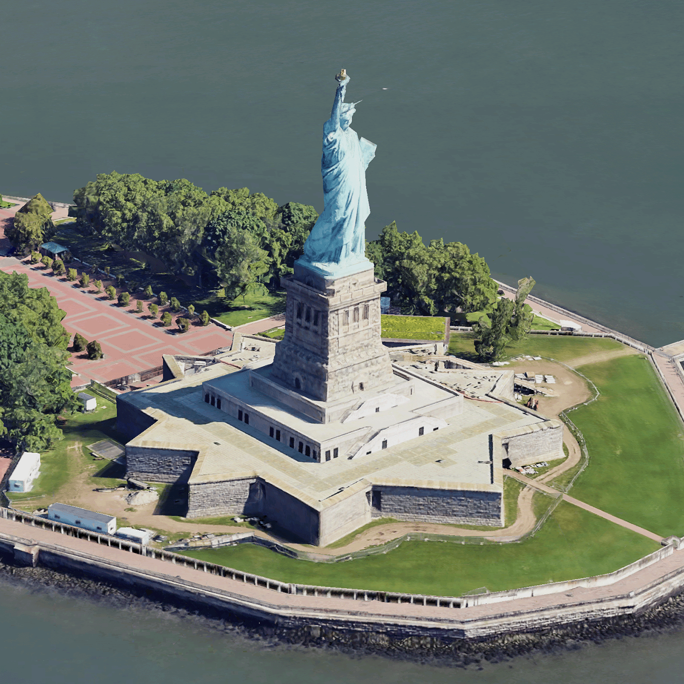
擬真 3D 圖塊是地圖圖塊,其中包含 Google 的 3D 地理資料,格式為 OGC 3D 圖塊格式。您可以使用自己的 3D 圖塊轉譯器,轉譯 Google 的 3D 地圖,也可以使用 3D 地理空間視覺化工具的開放原始碼程式庫。
使用 3D 圖塊的好處
Google 提供 3D 圖塊,可用於下一代視覺化用途。您可以使用 3D 圖塊建立令人驚豔的 3D 透視圖,就像使用 Google 地球一樣。這些檢視畫面可協助使用者更瞭解地理位置情境,改善瀏覽方式,並展示敘事內容。您也可以使用所選轉譯器,在場景中流暢地操控相機,從不同角度查看場景。
涵蓋區域
請查看 Map Tiles API 的涵蓋範圍。Google 會定期更新及新增圖像。
3D 解決方案
Google 地圖平台架構中心提供 3D 解決方案範例,您可以參考這些範例,開始使用應用程式:
除非另有註明,否則本頁面中的內容是採用創用 CC 姓名標示 4.0 授權,程式碼範例則為阿帕契 2.0 授權。詳情請參閱《Google Developers 網站政策》。Java 是 Oracle 和/或其關聯企業的註冊商標。
上次更新時間:2025-02-06 (世界標準時間)。
[null,null,["上次更新時間:2025-02-06 (世界標準時間)。"],[[["Photorealistic 3D Tiles are map tiles containing Google's 3D geodata in the OGC 3D Tiles format, allowing rendering with your own or open source 3D Tiles renderers."],["3D Tiles empowers next-generation visualization, enabling stunning 3D perspective views for enhanced geographic context, navigation, and storytelling."],["Google's 3D Tiles offer coverage detailed in the Map Tiles API documentation, with regular updates and imagery additions."],["Explore 3D solutions like the 3D Area Explorer for detailed virtual exploration and 3D Storytelling for immersive narratives using Photorealistic 3D Tiles on the Google Maps Platform Architecture Center."]]],[]]