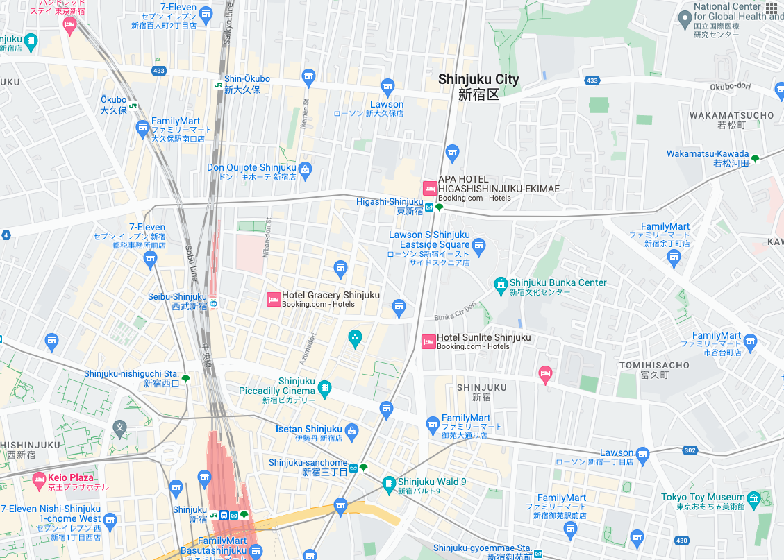
 路线图图块是基于矢量地形数据并采用 Google 制图样式的图片图块。这包括道路、建筑物、景点和政治边界。
获取路线图图块
获取会话令牌后,即可开始发出路线图图块请求。由于会话令牌适用于整个会话,因此您无需在瓦片请求中指定地图选项。
以下代码示例演示了路线图图块的典型会话令牌请求。
curl -X POST -d '{
  "mapType": "roadmap",
  "language": "en-US",
  "region": "US"
}' \
-H 'Content-Type: application/json' \
"https://tile.googleapis.com/v1/createSession?key=YOUR_API_KEY"
您可以通过发出 HTTPS GET 请求来获取路线图图块,如以下示例所示。
curl "https://tile.googleapis.com/v1/2dtiles/z/x/y?session=YOUR_SESSION_TOKEN &key=YOUR_API_KEY &orientation=0_or_90_or_180_or_270"
在此 HTTPS GET 请求中,z 是缩放级别(范围为 0 到 22),x 和 y 是您要检索的图块的图块坐标。
orientation 参数是可选的。其值用于指定图块图片的逆时针旋转角度。orientation 支持 roadmap 图块,还支持以下卫星和地形请求:使用 "overlay": true 移除基础图像,并设置了 layerTypes。有效的 orientation 值为 0(默认值)、90、180 和 270。
如果您包含 orientation 值,则图块坐标网格不会旋转。例如,如果您将 orientation 设置为 90,则 x 坐标仍会定义图块的从左到右位置,在本例中,该位置是指地图上从北到南的位置。
| 零度方向 | 90 度方向 |
|---|---|
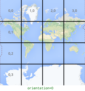 |
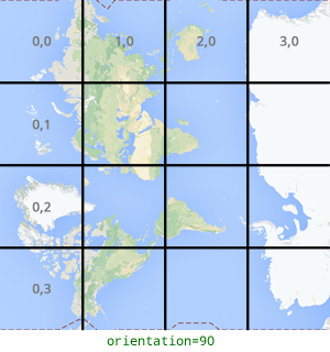 |
图块请求示例
请考虑以下示例,该示例请求包含整个世界的单个图块。在此示例中,缩放级别为 0,x 和 y 坐标为 0、0。
curl "https://tile.googleapis.com/v1/2dtiles/0/0/0?session=YOUR_SESSION_TOKEN&key=YOUR_API_KEY" --output /tmp/example_tile.png
在此示例中,服务器没有响应消息。而是将图块下载到本地文件,并提供以下统计信息。
  % Total    % Received % Xferd  Average Speed   Time    Time     Time  Current
                                 Dload  Upload   Total   Spent    Left  Speed
100  8335  100  8335    0     0  51471      0 --:--:-- --:--:-- --:--:-- 54835
如需了解响应消息标头,请参阅预取、缓存或存储内容。