卫星图块
使用集合让一切井井有条
根据您的偏好保存内容并对其进行分类。
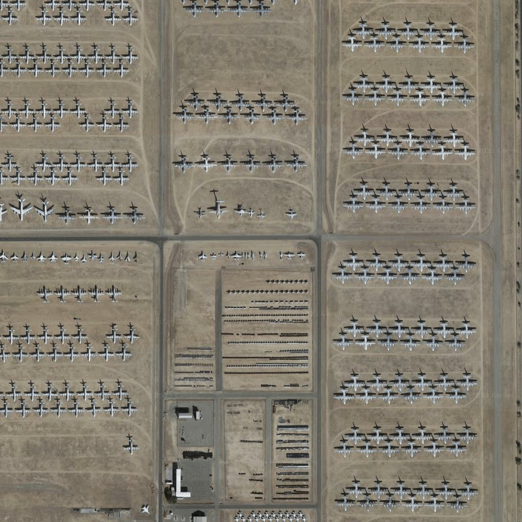
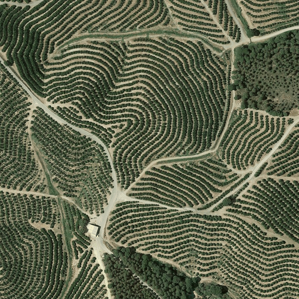 卫星图像图块是一种正射影像。它们是由卫星和机载相机拍摄的图像,可提供地球的俯视(天底或近天底)图像。
获取卫星图块
获得会话令牌后,您就可以开始发出卫星图块请求。由于会话令牌适用于整个会话,因此您无需在功能块请求中指定地图选项。
以下代码示例展示了针对卫星图块的典型会话令牌请求。
curl -X POST -d '{
  "mapType": "satellite",
  "language": "en-US",
  "region": "US"
}' \
-H 'Content-Type: application/json' \
"https://tile.googleapis.com/v1/createSession?key=YOUR_API_KEY
您可以通过发出 HTTPS GET 请求来获取卫星图块,如以下示例所示。
curl "https://tile.googleapis.com/v1/2dtiles/z/x/y?session=YOUR_SESSION_TOKEN&key=YOUR_API_KEY"
图块请求示例
请看以下代码示例,该示例请求缩放级别为 15、x 和 y 坐标为 (6294, 13288) 的单个卫星图块。
curl "https://tile.googleapis.com/v1/2dtiles/15/6294/13288?session=YOUR_SESSION_TOKEN&key=YOUR_API_KEY" --output /tmp/example_tile.png
在此示例中,服务器没有响应消息。而是将图块下载到本地文件。
如需了解响应消息标头,请参阅预取、缓存或存储内容。
如未另行说明,那么本页面中的内容已根据知识共享署名 4.0 许可获得了许可,并且代码示例已根据 Apache 2.0 许可获得了许可。有关详情,请参阅 Google 开发者网站政策。Java 是 Oracle 和/或其关联公司的注册商标。
最后更新时间 (UTC):2026-04-08。
[null,null,["最后更新时间 (UTC):2026-04-08。"],[],["Satellite image tiles are top-down images from satellite or airborne cameras. To obtain them, first, request a session token via a POST request, including map type, language, and region. Then, make an HTTPS GET request to retrieve a specific tile by providing zoom level, x and y coordinates, session token, and API key. The requested tile is downloaded directly to a local file without a server response message. An example demonstrates getting a tile at zoom 15 with coordinates (6294, 13288).\n"]]
