Mosaicos de terreno
Organiza tus páginas con colecciones
Guarda y categoriza el contenido según tus preferencias.
Desarrolladores del Espacio Económico Europeo (EEE)
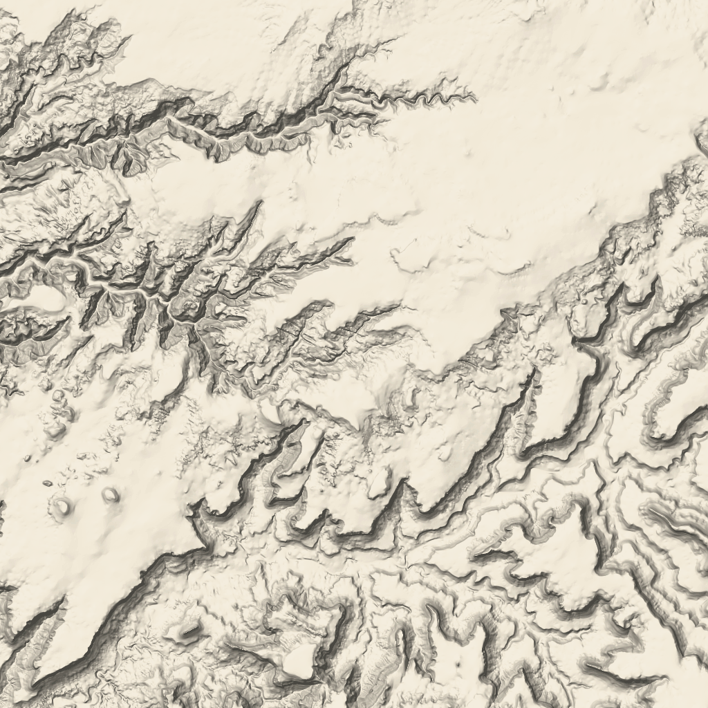
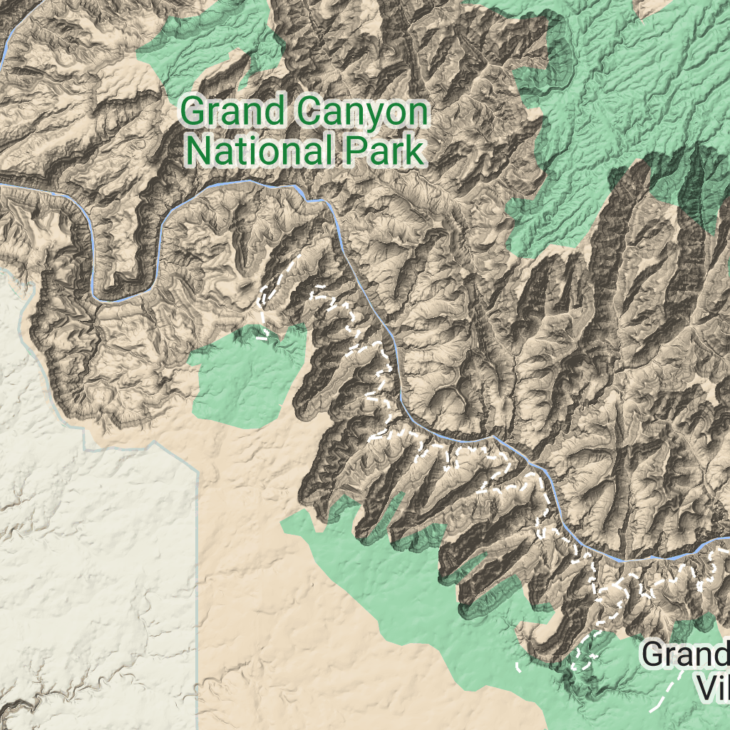
Los mosaicos de terreno son mosaicos de imágenes que contienen mapas de sombreado de colinas y líneas de contorno. Incluyen elementos naturales, como la vegetación.
Cómo obtener tarjetas de terreno
Puedes comenzar a realizar solicitudes de segmentos de terreno después de obtener un token de sesión.
Dado que un token de sesión se aplica a toda la sesión, no es necesario que especifiques las opciones del mapa con tus solicitudes de segmentos.
En la siguiente muestra de código, se muestra una solicitud típica de token de sesión para las tarjetas de terreno.
curl -X POST -d '{
"mapType": "terrain",
"language": "en-US",
"region": "US",
"layerTypes": ["layerRoadmap"]
}' \
-H 'Content-Type: application/json' \
"https://tile.googleapis.com/v1/createSession?key=YOUR_API_KEY"
Para obtener mosaicos de terreno, debes realizar una solicitud GET HTTPS, como se muestra en el siguiente ejemplo.
curl "https://tile.googleapis.com/v1/2dtiles/z/x/y?session=YOUR_SESSION_TOKEN&key=YOUR_API_KEY"
Ejemplo de solicitud de tarjeta
Considera el siguiente ejemplo, en el que se solicita una sola tarjeta de terreno con un nivel de zoom de 10 y coordenadas X e Y de (192, 401).
curl "https://tile.googleapis.com/v1/2dtiles/10/192/401?session=YOUR_SESSION_TOKEN&key=YOUR_API_KEY" --output /tmp/example_tile.png
En este ejemplo, no hay ningún mensaje de respuesta del servidor. En cambio, la tarjeta solo se descarga en un archivo local.

Para obtener información sobre los encabezados de los mensajes de respuesta, consulta Recuperación anticipada o almacenamiento (incluso en caché) del contenido.
Salvo que se indique lo contrario, el contenido de esta página está sujeto a la licencia Atribución 4.0 de Creative Commons, y los ejemplos de código están sujetos a la licencia Apache 2.0. Para obtener más información, consulta las políticas del sitio de Google Developers. Java es una marca registrada de Oracle o sus afiliados.
Última actualización: 2025-08-29 (UTC)
[null,null,["Última actualización: 2025-08-29 (UTC)"],[[["\u003cp\u003eTerrain tiles are image tiles that visually represent geographical features like hills, contours, and vegetation.\u003c/p\u003e\n"],["\u003cp\u003eTo request terrain tiles, you first need to obtain a session token using your API key and specifying map parameters.\u003c/p\u003e\n"],["\u003cp\u003eYou can then retrieve individual terrain tiles using an HTTPS GET request, providing the session token, API key, and desired tile coordinates (zoom level, x, and y).\u003c/p\u003e\n"],["\u003cp\u003eTerrain tiles are downloaded directly as image files without a server response message, allowing easy integration into mapping applications.\u003c/p\u003e\n"]]],["Terrain tiles, which include hillshade mapping, contour lines, and natural features, are accessed by first obtaining a session token via a POST request specifying the map type, language, region, and layer types. Subsequently, tiles are retrieved with HTTPS GET requests, providing the zoom level (z), x and y coordinates, and the session token. An example demonstrates requesting a tile at zoom level 10, with coordinates (192, 401). The tile data downloads to a local file, without a server response message.\n"],null,["# Terrain tiles\n\n**European Economic Area (EEA) developers** If your billing address is in the European Economic Area, effective on 8 July 2025, the [Google\n| Maps Platform EEA Terms of Service](https://cloud.google.com/terms/maps-platform/eea) will apply to your use of the Services. [Learn more](/maps/comms/eea/faq). In addition, certain content from the Map Tiles API will no longer be returned. [Learn more](/maps/comms/eea/map-tiles).\n\nTerrain tiles are image tiles that contain hillshade mapping\nand contour lines. They include natural features such as vegetation.\n\nGetting terrain tiles\n---------------------\n\nYou can begin making terrain tile requests after you get a session token.\nBecause a session token applies to the entire session, you don't have to specify\nthe map options with your tile requests.\n\nThe following code sample demonstrates a typical session token request for\nterrain tiles. \n\n```json\ncurl -X POST -d '{\n \"mapType\": \"terrain\",\n \"language\": \"en-US\",\n \"region\": \"US\",\n \"layerTypes\": [\"layerRoadmap\"]\n}' \\\n-H 'Content-Type: application/json' \\\n\"https://tile.googleapis.com/v1/createSession?key=YOUR_API_KEY\"\n```\n\nYou get terrain tiles by making an HTTPS GET request, as shown in the following\nexample. \n\n```json\ncurl \"https://tile.googleapis.com/v1/2dtiles/\u003cvar class=\"apiparam\" translate=\"no\"\u003ez\u003c/var\u003e/\u003cvar class=\"apiparam\" translate=\"no\"\u003ex\u003c/var\u003e/\u003cvar class=\"apiparam\" translate=\"no\"\u003ey\u003c/var\u003e?session=\u003cvar class=\"apiparam\" translate=\"no\"\u003eYOUR_SESSION_TOKEN\u003c/var\u003e&key=YOUR_API_KEY\"\n```\n\nExample tile request\n--------------------\n\nConsider the following example, which requests a single terrain tile with zoom\nlevel 10, with x and y coordinates of (192, 401). \n\n```json\ncurl \"https://tile.googleapis.com/v1/2dtiles/10/192/401?session=\u003cvar class=\"apiparam\" translate=\"no\"\u003eYOUR_SESSION_TOKEN\u003c/var\u003e&key=YOUR_API_KEY\" --output /tmp/example_tile.png\n```\n\nThere is no response message from the server in this example. Instead, the tile\njust downloads to a local file.\n\nFor information about response message headers, see\n[Pre-Fetching, Caching, or Storage of Content](/maps/documentation/tile/policies#pre-fetching,-caching,-or-storage-of-content)."]]