-
זיהוי יומי של אירועי שריפה ב-GlobFire על סמך MCD64A1
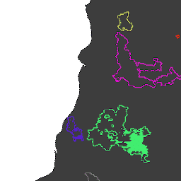
גבולות השריפות מבוססים על מערך הנתונים MODIS MCD64A1. הנתונים חושבו על סמך אלגוריתם שמסתמך על קידוד במבנה גרף של קשר בין אזורים שנשרפו במרחב ובזמן. לכל שריפה יש מספר ייחודי שמזהה את האירוע. area burnt disaster fire globfire mcd64a1 -
GlobFire Final Fire Event Detection Based on MCD64A1

גבולות השריפות מבוססים על מערך הנתונים MODIS MCD64A1. הנתונים חושבו על סמך אלגוריתם שמסתמך על קידוד במבנה גרף של קשר בין אזורים שנשרפו במרחב ובזמן. לכל שריפה יש מספר ייחודי שמזהה את האירוע. area burnt disaster fire globfire mcd64a1
Datasets tagged area in Earth Engine
[null,null,[],[],["The datasets, \"GlobFire Daily Fire Event Detection\" and \"GlobFire Final Fire Event Detection,\" both use the MODIS MCD64A1 dataset to define fire boundaries. They employ an algorithm that encodes the spatial and temporal relationships between burned area patches in a graph structure. Each identified fire is assigned a unique number. The data is categorized by area, burnt regions, disaster, fire occurrences, GlobFire events, and MCD64A1 data.\n"]]