-
GLOBathy 全球湖泊测深数据集

全球测深 (GLOBathy) 数据集包含全球 140 多万个水体的数据,经过精心开发,可与广受认可的 HydroLAKES 数据集保持一致。GLOBathy 利用基于地理信息系统 (GIS) 的复杂框架,通过整合最大深度估计值和几何/地球物理…来构建详细的海底地形图。 测深 community-dataset 水文 sat-io surface-ground-water -
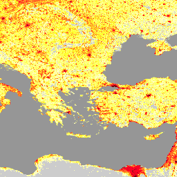
LandScan 人口数据(全球,1 公里)

LandScan 数据集由橡树岭国家实验室 (ORNL) 提供,是一个全面且高分辨率的全球人口分布数据集,可作为各种应用的宝贵资源。LandScan 利用先进的空间建模技术和高级地理空间数据源,提供详细的… community-dataset demography landscan population sat-io -
美国干旱监测

美国干旱监测图每周四发布,显示美国境内出现干旱的地区。该地图使用五种分类:异常干旱 (D0),表示可能正进入或走出干旱的区域;以及四种干旱程度:… community-dataset 干旱 noaa 降水 sat-io usda
Datasets tagged community-dataset in Earth Engine
[null,null,[],[],["The provided information describes three distinct datasets. GLOBathy offers bathymetric maps for over 1.4 million global waterbodies, harmonized with the HydroLAKES dataset, using GIS and depth estimates. LandScan, from ORNL, is a high-resolution global population distribution dataset developed through spatial modeling. The U.S. Drought Monitor is a weekly map classifying drought conditions across the U.S., utilizing five categories from abnormally dry to four drought levels. Each dataset is tagged as community dataset and sat-io.\n"]]