-
오스트레일리아의 실제 증발산량 (CMRSET Landsat V2.2)

이 데이터 세트는 CMRSET 알고리즘을 사용하여 오스트레일리아의 정확한 실제 증발산량 (AET 또는 ETa)을 제공합니다. AET 밴드('ETa'라고 함)에는 해당 월의 모든 구름 없는 Landsat 관측치에 대한 CMRSET 모델의 평균 일일 값이 포함됩니다 (AET 데이터의 값 3으로 표시됨). 농업 오스트레일리아 csiro 증발 증발산량 landsat-derived -
SLGA: 오스트레일리아의 토양 및 지형 그리드 (토양 속성)
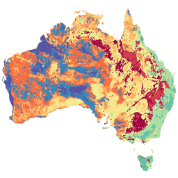
오스트레일리아의 토양 및 지형 그리드 (SLGA)는 3초 해상도 (~90m 픽셀)의 오스트레일리아 전역 토양 속성 종합 데이터 세트입니다. 표면은 기존 토양 데이터와 환경을 사용하여 토양 속성의 공간 분포를 설명하는 모델링의 결과입니다. 오스트레일리아 csiro 토양 tern
Datasets tagged csiro in Earth Engine
[null,null,[],[],[]]