-
GPW 연간 우세한 초원 클래스 v1
이 데이터 세트는 2000년부터 2022년까지 30m 공간 해상도로 초지 (경작 및 자연/반자연)의 전 세계 연간 우세 클래스 지도를 제공합니다. Land & Carbon Lab Global Pasture Watch 이니셔티브에서 제작한 매핑된 초지 범위에는 다음을 포함하는 모든 토지 피복 유형이 포함됩니다. 전역 global-pasture-watch land landcover landuse landuse-landcover -
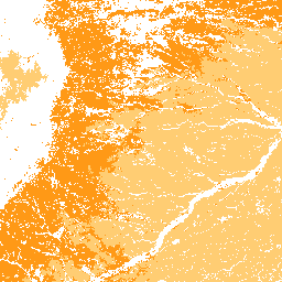
GPW 연간 재배 초지 확률 v1
이 데이터 세트는 2000년부터 2022년까지의 경작된 초지의 전 세계 연간 확률 지도를 30m 공간 해상도로 제공합니다. Land & Carbon Lab Global Pasture Watch 이니셔티브에서 제작한 매핑된 초지 범위에는 건조한 … 전역 global-pasture-watch land landcover landuse landuse-landcover -
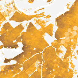
GPW 연간 자연/반자연 초지 확률 v1
이 데이터 세트는 2000년부터 2022년까지 30m 공간 해상도로 자연/반자연 초지의 전 세계 연간 확률 지도를 제공합니다. Land & Carbon Lab Global Pasture Watch 이니셔티브에서 제작한 매핑된 초지 범위에는 건조한 … 전역 global-pasture-watch land landcover landuse landuse-landcover -
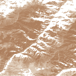
GPW 연간 단기 초목 높이 v1

이 데이터 세트는 2000년부터의 전 세계 중간 식생 높이를 30m 공간 해상도로 제공합니다. Land & Carbon Lab의 Global Pasture Watch 이니셔티브에서 제작한 이 데이터 세트는 2000년부터 30m 공간 해상도로 전 세계의 중간 식물 높이 값 (50번째 백분위수)을 제공합니다. 데이터 세트는 다음을 기반으로 합니다. canopy global global-pasture-watch land landcover plant-productivity -
GPW 연간 보정되지 않은 총 기본 생산성 (uGPP) v1
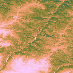
이 데이터 세트는 2000년부터 30m 공간 해상도로 관측한 전 세계 보정되지 않은 EO 기반 총 일차 생산량을 제공합니다. Land & Carbon Lab Global Pasture Watch 이니셔티브에서 제작한 현재 데이터 세트는 2000년부터 30m 공간 해상도로 전 세계의 총 일차 생산량 (GPP) 값을 제공합니다. GPP 값 … global global-pasture-watch land landcover landuse plant-productivity
Datasets tagged global-pasture-watch in Earth Engine
[null,null,[],[],[]]