-
Landsat 전역 지표면 조사 1975
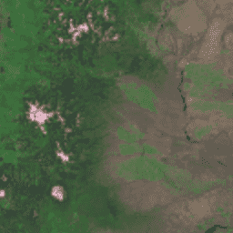
전역 지표면 조사 (GLS) 1975는 Landsat 다중 스펙트럼 스캐너 (MSS)의 전역 이미지 모음입니다. 대부분의 장면은 1972~1983년에 Landsat 1~3에서 획득했습니다. Landsat 1~3 데이터의 일부 간격은 … 중에 Landsat 4~5에서 획득한 장면으로 채워졌습니다. 전역 gls landsat 복사휘도 위성 이미지 usgs -
Landsat 전역 지표면 조사 2005, Landsat 5 장면
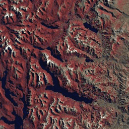
GLS2005 데이터 세트는 2004년에서 2007년 사이에 수집되고 지구의 지표면을 포괄하는 9,500개의 정사보정된 잎이 있는 중간 해상도 위성 이미지 모음입니다. GLS2005는 주로 Landsat 5와 간격이 채워진 Landsat 7 데이터를 사용하며 EO-1 ALI 및 Terra ASTER 데이터로 …을 채웁니다. etm gls l5 landsat 복사휘도 위성 이미지 -
Landsat 전역 지표면 조사 2005, Landsat 5+7 장면

GLS2005 데이터 세트는 2004년에서 2007년 사이에 수집되고 지구의 지표면을 포괄하는 9,500개의 정사보정된 잎이 있는 중간 해상도 위성 이미지 모음입니다. GLS2005는 주로 Landsat 5와 간격이 채워진 Landsat 7 데이터를 사용하며 EO-1 ALI 및 Terra ASTER 데이터로 …을 채웁니다. gls landsat 복사휘도 위성 이미지 usgs -
Landsat 전역 지표면 조사 2005, Landsat 7 장면

GLS2005 데이터 세트는 2004년에서 2007년 사이에 수집되고 지구의 지표면을 포괄하는 9,500개의 정사보정된 잎이 있는 중간 해상도 위성 이미지 모음입니다. GLS2005는 주로 Landsat 5와 간격이 채워진 Landsat 7 데이터를 사용하며 EO-1 ALI 및 Terra ASTER 데이터로 …을 채웁니다. etm gls l7 landsat 복사휘도 위성 이미지
Datasets tagged gls in Earth Engine
[null,null,[],[],[]]