-
Oznaczenie: USGS GAP PAD-US v2.0
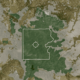
PAD-US to oficjalny krajowy spis chronionych obszarów lądowych i morskich w Stanach Zjednoczonych, które są przeznaczone do ochrony różnorodności biologicznej oraz innych celów przyrodniczych, rekreacyjnych i kulturalnych, zarządzanych w tym celu za pomocą środków prawnych lub innych skutecznych metod. Ta baza danych jest podzielona na… conservation-easements designation infrastructure-boundaries management ownership protected-areas -
Easement: USGS GAP PAD-US v2.0
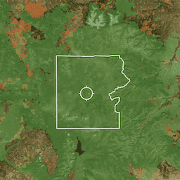
PAD-US to oficjalny krajowy spis chronionych obszarów lądowych i morskich w Stanach Zjednoczonych, które są przeznaczone do ochrony różnorodności biologicznej oraz innych celów przyrodniczych, rekreacyjnych i kulturalnych, zarządzanych w tym celu za pomocą środków prawnych lub innych skutecznych metod. Ta baza danych jest podzielona na… conservation-easements designation infrastructure-boundaries management ownership protected-areas -
Opłata: USGS GAP PAD-US v2.0
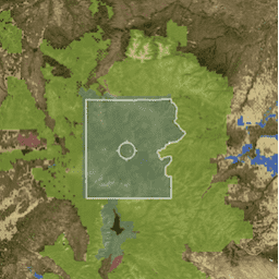
PAD-US to oficjalny krajowy spis chronionych obszarów lądowych i morskich w Stanach Zjednoczonych, które są przeznaczone do ochrony różnorodności biologicznej oraz innych celów przyrodniczych, rekreacyjnych i kulturalnych, zarządzanych w tym celu za pomocą środków prawnych lub innych skutecznych metod. Ta baza danych jest podzielona na… conservation-easements designation infrastructure-boundaries management ownership protected-areas -
Proclamation: USGS GAP PAD-US v2.0
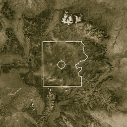
PAD-US to oficjalny krajowy spis chronionych obszarów lądowych i morskich w Stanach Zjednoczonych, które są przeznaczone do ochrony różnorodności biologicznej oraz innych celów przyrodniczych, rekreacyjnych i kulturalnych, zarządzanych w tym celu za pomocą środków prawnych lub innych skutecznych metod. Ta baza danych jest podzielona na… conservation-easements designation infrastructure-boundaries management ownership protected-areas -
WDKBA: World Database of Key Biodiversity Areas (KBAs) - March 2026

Jeśli chcesz uzyskać dostęp do zbioru danych KBA, wypełnij formularz prośby o dostęp do danych KBA. Po zatwierdzeniu prośby uzyskasz bezpośredni dostęp do danych w GEE. Kluczowe obszary bioróżnorodności (KBAs) to „miejsca, które w znacznym stopniu przyczyniają się do zachowania bioróżnorodności na świecie” w ekosystemach lądowych, słodkowodnych i morskich. … bioróżnorodność granice ekosystemy globalne iucn zarządzanie
Datasets tagged management in Earth Engine
[null,null,[],[],[]]