-
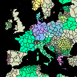
FAO GAUL 500m Simplified: Global Administrative Unit Layers 2015, First-Level Administrative Units

Ta wersja zbioru danych GAUL jest uproszczona do 500 m. Baza danych Global Administrative Unit Layers (GAUL) zawiera i rozpowszechnia najlepsze dostępne informacje o jednostkach administracyjnych we wszystkich krajach świata, przyczyniając się do standaryzacji zbioru danych przestrzennych reprezentujących jednostki administracyjne. … borders departments fao gaul infrastructure-boundaries provinces -
FAO GAUL: Global Administrative Unit Layers 2015, First-Level Administrative Units
Baza danych Global Administrative Unit Layers (GAUL) zawiera i rozpowszechnia najlepsze dostępne informacje o jednostkach administracyjnych we wszystkich krajach świata, przyczyniając się do standaryzacji zbioru danych przestrzennych reprezentujących jednostki administracyjne. GAUL zawsze zawiera warstwy globalne z ujednoliconym… borders departments fao gaul infrastructure-boundaries provinces
Datasets tagged provinces in Earth Engine
[null,null,[],[],["The Global Administrative Unit Layers (GAUL) datasets compile and distribute information on administrative units worldwide, aiming to standardize spatial datasets. These datasets, including a 500m simplified version, offer unified global layers representing administrative divisions for each country. The layers include information on borders, departments, provinces, and states. The GAUL provides information on the first administrative level.\n"]]