Datasets tagged river-width in Earth Engine

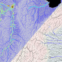
[null,null,[],[],["MERIT Hydro offers a global flow direction map with a 3 arc-second resolution, derived from MERIT DEM elevation data and water body datasets (G1WBM, GSWO, OpenStreetMap). It utilizes elevation, flow-direction, and hydrography data. It offers supplementary visualization layers that share the same data origins and tag categories, offering additional tools for understanding the hydrography data. The dataset focuses on mapping water flow direction globally.\n"]]