-
Rzeczywiste parowanie w Australii (CMRSET Landsat V2.2)

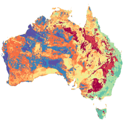
Ten zbiór danych zawiera dokładne rzeczywiste parowanie (AET lub ETa) w Australii obliczone za pomocą algorytmu CMRSET. Pasmo AET (o nazwie „ETa”) zawiera średnią dzienną wartość z modelu CMRSET dla wszystkich obserwacji satelity Landsat w danym miesiącu, które nie były zasłonięte przez chmury (wskazywaną wartością 3 w polu AET Data … rolnictwo australia csiro parowanie ewapotranspiracja landsat -
SLGA: Soil and Landscape Grid of Australia (Soil Attributes)
Soil and Landscape Grid of Australia (SLGA) to kompleksowy zbiór danych o atrybutach gleby w Australii w rozdzielczości 3 sekund łuku (~90 m pikseli). Powierzchnie to wyniki modelowania, które opisują przestrzenny rozkład atrybutów gleby na podstawie istniejących danych o glebie i środowisku. australia csiro soil tern
Datasets tagged tern in Earth Engine
[null,null,[],[],[]]