-
Murray Global Intertidal Change Classification

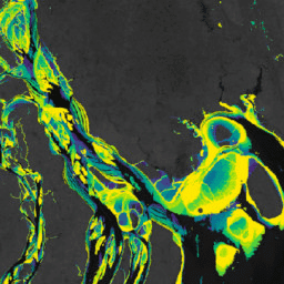
Zbiór danych Murray Global Intertidal Change Dataset zawiera globalne mapy ekosystemów pływowych,które powstały w wyniku nadzorowanej klasyfikacji 707 528 zdjęć z archiwum Landsat. Każdy piksel został zaklasyfikowany jako płycizna pływowa, stały zbiornik wodny lub inny na podstawie globalnego zbioru danych treningowych. The … coastal google intertidal landsat-derived murray surface-ground-water -
Maska danych dotyczących zmian w strefie pływów na całym świecie (Murray Global Intertidal Change Data Mask)
Zbiór danych Murray Global Intertidal Change Dataset zawiera globalne mapy ekosystemów pływowych,które powstały w wyniku nadzorowanej klasyfikacji 707 528 zdjęć z archiwum Landsat. Każdy piksel został zaklasyfikowany jako płycizna pływowa, stały zbiornik wodny lub inny na podstawie globalnego zbioru danych treningowych. The … coastal google intertidal landsat-derived murray surface-ground-water -
Murray Global Intertidal Change QA Pixel Count

Zbiór danych Murray Global Intertidal Change Dataset zawiera globalne mapy ekosystemów pływowych,które powstały w wyniku nadzorowanej klasyfikacji 707 528 zdjęć z archiwum Landsat. Każdy piksel został zaklasyfikowany jako płycizna pływowa, stały zbiornik wodny lub inny na podstawie globalnego zbioru danych treningowych. The … coastal google intertidal landsat-derived murray surface-ground-water
Datasets tagged tidal-flats in Earth Engine
[null,null,[],[],[]]