
אתם יכולים להתאים אישית את הגובה של הסמנים שאתם מוסיפים למפה תלת-ממדית.
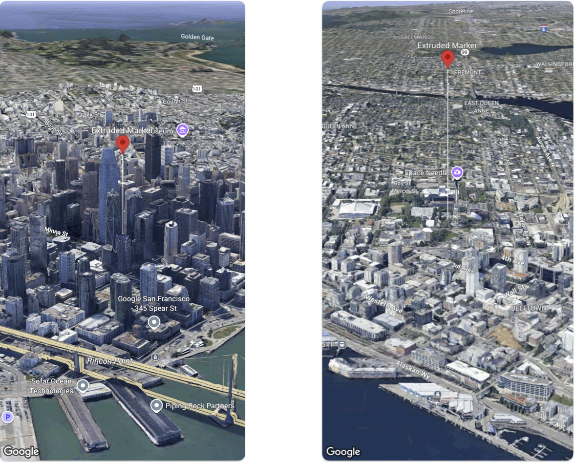
בדוגמת הקוד הבאה אפשר לראות איך מגדירים את הגובה ואת מצב הגובה של Marker.
@State var extrudedMarker: Marker3D = .init(
  position: .init(
      latitude: 37.78980534,
      longitude:  -122.3969349,
      altitude: 50.0),
  altitudeMode: .relativeToGround,
  collisionBehavior: .required,
  extruded: true,
  drawsWhenOccluded: true,
  sizePreserved: true,
  zIndex: 0,
  label: "Extruded marker"
)