Page Summary
-
This page describes a suite of nationally consistent, rigorously validated datasets detailing various Canadian forest attributes.
-
The datasets were developed by the remote sensing team at the Laurentian Forestry Centre of the Canadian Forest Service, Natural Resources Canada.
-
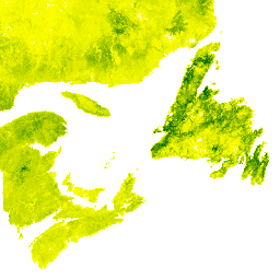
One featured dataset, SCANFI: the Spatialized CAnadian National Forest Inventory data product 1.2, provides 30m resolution raster files for 2020 covering broad land cover type, forest canopy height, crown closure, aboveground tree biomass, and species composition of major tree species across Canada.
-
SCANFI: the Spatialized CAnadian National Forest Inventory data product1.2

This data publication contains a set of 30m resolution raster files representing 2020 Canadian wall-to-wall maps of broad land cover type, forest canopy height, degree of crown closure and aboveground tree biomass, along with species composition of several major tree species. The Spatialized CAnadian National … canada forest forest-biomass publisher-dataset tree-cover
