-
USGS 3DEP 10m National Map Seamless (1/3 Arc-Second)
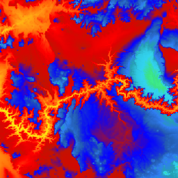
นี่คือชุดข้อมูล DEM ของ 3DEP ที่ราบรื่นสำหรับสหรัฐอเมริกาซึ่งครอบคลุมทั้ง 48 รัฐที่อยู่ติดกัน ฮาวาย และเขตแดนของสหรัฐอเมริกา ขณะนี้ความครอบคลุมในอลาสก้าพร้อมให้บริการบางส่วนแล้ว และกำลังขยายความครอบคลุมให้ทั่วทั้งรัฐซึ่งเป็นส่วนหนึ่งของโครงการริเริ่มการทำแผนที่อลาสก้า ระยะห่างจากพื้นคือ … 3dep dem elevation elevation-topography geophysical topography -
แผนที่แห่งชาติ 1 ม. 3DEP ของ USGS
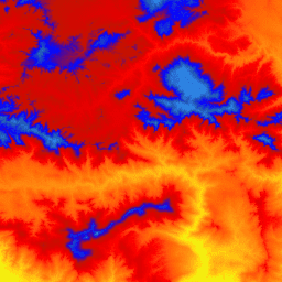
นี่คือคอลเล็กชันรูปภาพแบบไทล์ที่มีขนาดพิกเซล 1 เมตรจากโปรแกรมระดับความสูง 3 มิติ (3DEP) การถือครองข้อมูล 3DEP ทำหน้าที่เป็นเลเยอร์ระดับความสูงของแผนที่แห่งชาติ และให้ข้อมูลระดับความสูงพื้นฐานสำหรับการศึกษาด้านวิทยาศาสตร์โลกและแอปพลิเคชันการทำแผนที่ในสหรัฐอเมริกา … 3dep dem elevation elevation-topography geophysical topography -
ข้อมูลเมตาเชิงพื้นที่ของแผนที่แห่งชาติ 3DEP ของ USGS ที่ 1/3 อาร์คเซคคันด์ (10 ม.)

นี่คือตารางที่มีข้อมูลเมตาสำหรับชิ้นงาน DEM 10 ม. ของ 3DEP Work unit Extent Spatial Metadata (WESM) มีความพร้อมใช้งานของข้อมูล Lidar ปัจจุบันและข้อมูลพื้นฐานเกี่ยวกับโปรเจ็กต์ Lidar ซึ่งรวมถึงระดับคุณภาพของ Lidar, วันที่ได้ข้อมูล และลิงก์ไปยังข้อมูลเมตาระดับโปรเจ็กต์ ดูรายละเอียดเพิ่มเติม … 3dep elevation-topography table usgs
Datasets tagged 3dep in Earth Engine
[null,null,[],[],["The USGS 3DEP dataset offers seamless DEM data for the US, including the 48 contiguous states, Hawaii, and US territories, with partial coverage of Alaska that is being expanded. This data is available at 10m and 1m resolution. The 10m DEM has corresponding metadata table for lidar data availability. This 3DEP information serves as the elevation layer for the National Map and supports earth science studies and mapping applications.\n"]]