بارش روزانه CHIRP: مرکز مخاطرات اقلیمی، بارش مادون قرمز با دادههای ایستگاه (نسخه ۲.۰ نهایی) 
مرکز مخاطرات اقلیمی بارش مادون قرمز با دادههای ایستگاه (CHIRPS) یک مجموعه داده بارش شبه جهانی 30+ ساله است. CHIRPS تصاویر ماهوارهای با وضوح 0.05 درجه را با دادههای ایستگاههای مستقر در محل ترکیب میکند تا سریهای زمانی بارش شبکهای را برای تجزیه و تحلیل روند و پایش خشکسالی فصلی ایجاد کند. آب و هوای chg، بارش ژئوفیزیکی، آب و هوای ucsb پنجگانه بارش CHIRPS: مرکز مخاطرات اقلیمی، بارش مادون قرمز با دادههای ایستگاه (نسخه ۲.۰ نهایی) 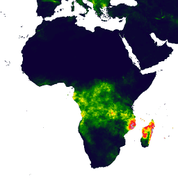
مرکز مخاطرات اقلیمی بارش مادون قرمز با دادههای ایستگاه (CHIRPS) یک مجموعه داده بارش شبه جهانی 30+ ساله است. CHIRPS تصاویر ماهوارهای با وضوح 0.05 درجه را با دادههای ایستگاههای مستقر در محل ترکیب میکند تا سریهای زمانی بارش شبکهای را برای تجزیه و تحلیل روند و پایش خشکسالی فصلی ایجاد کند. آب و هوای chg، بارش ژئوفیزیکی، آب و هوای ucsb پنجگانه بارش CHIRPS: مرکز مخاطرات اقلیمی، بارش مادون قرمز با دادههای ایستگاه (نسخه ۳.۰) 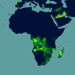
مرکز مخاطرات اقلیمی بارش مادون قرمز با ایستگاهها (CHIRPS نسخه ۳) یک مجموعه داده بارش شبه جهانی با وضوح بالا و با دوره زمانی بیش از ۴۰ سال است. این مجموعه داده از ۶۰ درجه شمالی تا ۶۰ درجه جنوبی را پوشش میدهد و تمام طولهای جغرافیایی را پوشش میدهد و دادههایی از سال ۱۹۸۱ تا به امروز ارائه میدهد. CHIRPS نسخه ۳ تخمینهای بارش مادون قرمز حرارتی مبتنی بر ماهواره را با مشاهدات ایستگاههای محلی ترکیب میکند... آب و هوا، ژئوفیزیک ، بارش ، UCSB دمای روزانه CHIRTS: مرکز مخاطرات آب و هوایی، دمای مادون قرمز به همراه دادههای روزانه ایستگاهها 
محصول دادههای دمای روزانه مادون قرمز مرکز مخاطرات اقلیمی با ایستگاهها (CHIRTS-daily؛ Verdin و همکاران، 2020) یک مجموعه داده شبکهای تقریباً جهانی و با وضوح بالا (وضوح 0.05° × 0.05°، 60°S - 70°N) است که حداقل (Tmin) و حداکثر دمای 2 متری (Tmax) روزانه و چهار متغیر مشتق شده را ارائه میدهد: بخار اشباع ... آب و هوای روزانه chg era5، بازتحلیل ژئوفیزیکی
Datasets tagged chg in Earth Engine
[null,null,[],[],[]]