-
FIRMS: Fire Information for Resource Management System
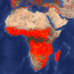
Earth Engine 版の Fire Information for Resource Management System(FIRMS)データセットには、ラスタライズされた形式の LANCE 火災検知プロダクトが含まれています。準リアルタイム(NRT)の火災発生場所は、標準の MODIS MOD14/MYD14 火災と熱異常プロダクトを使用して LANCE によって処理されます。各 … eosdis fire firms geophysical hotspot lance -
VJ114IMGTDL_NRT 毎日ラスタ: VIIRS(NOAA-20)バンド 375m の活発な火災

NOAA-20(JPSS-1)可視赤外線画像放射計スイート(VIIRS)の火災検出プロダクトは、機器の 375 m の公称解像度データに基づいています。他の粗い解像度(≥ 1 km)の衛星火災検出プロダクトと比較して、375 m のデータは、比較的小さな火災に対する応答性が向上しています。 eosdis fire firms geophysical hotspot lance -
VNP14IMGTDL_NRT 毎日ラスタ: VIIRS(S-NPP)バンド 375m の活発な火災

Suomi NPP 可視赤外線画像放射計スイート(VIIRS)の火災検出プロダクトは、機器の公称解像度 375 m のデータに基づいています。他の粗い解像度(1 km 以上)の衛星火災検出プロダクトと比較して、375 m のデータは、比較的小さな火災に対する応答性が向上しています。 eosdis fire firms geophysical hotspot lance
Datasets tagged firms in Earth Engine
[null,null,[],[],[]]