-
CSP gHM: Global Human Modification
全球の人間による改変データセット(gHM)は、全球の陸地の人間による改変の累積測定値を 1 平方キロメートルの解像度で提供します。gHM の値は 0.0 ~ 1.0 の範囲で、特定の場所(ピクセル)が改変された割合、推定強度などを推定して計算されます。 csp fragmentation human-modification landcover landscape-gradient population -
FireCCI51: MODIS Fire_cci 焼失面積ピクセル プロダクト、バージョン 5.1

MODIS Fire_cci 焼失面積ピクセル プロダクト バージョン 5.1(FireCCI51)は、焼失面積と補助データに関する情報を含む、月単位のグローバルな約 250 m の空間解像度データセットです。これは、MODIS 機器に搭載された近赤外線(NIR)バンドの地表反射率に基づいています。 burn cci climate-change copernicus esa fire -
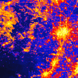
TNC Global Human Modification v3(静的スナップショット 90 分)

Global Human Modification v3 データセットは、地球上の陸上生態系(南極を除く)に対する人間の累積的な圧力を測定します。このデータセットは 1990 年から 2022 年までのデータを追跡しており、環境保護計画、政策立案、研究における人間の影響を定量化することを目的としています。これは 2022 年の静的スナップショット(「s」シリーズ)です。 fragmentation human-modification landcover landscape-gradient population stressors
Datasets tagged fragmentation in Earth Engine
[null,null,[],[],[]]