Page Summary
-
The Global Land Survey (GLS) 1975 dataset contains global imagery primarily from Landsat 1-3 acquired between 1972-1983, with some gaps filled by Landsat 4-5 data.
-
The GLS2005 dataset includes approximately 9500 orthorectified leaf-on satellite images covering global land masses collected from 2004 to 2007.
-
GLS2005 mainly utilizes Landsat 5 and gap-filled Landsat 7 data, supplemented by EO-1 ALI and Terra ASTER data.
-
Landsat Global Land Survey 1975
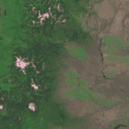
The Global Land Survey (GLS) 1975 is a global collection of imagery from the Landsat Multispectral Scanner (MSS). Most scenes were acquired by Landsat 1-3 in 1972-1983. A few gaps in the Landsat 1-3 data have been filled with scenes acquired by Landsat 4-5 during … global gls landsat radiance satellite-imagery usgs -
Landsat Global Land Survey 2005, Landsat 5 scenes
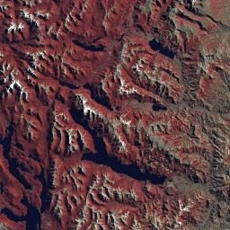
The GLS2005 data set is a collection of 9500 orthorectified leaf-on medium-resolution satellite images collected between 2004 and 2007 and covering the Earth's land masses. GLS2005 uses mainly Landsat 5 and gap-filled Landsat 7 data with EO-1 ALI and Terra ASTER data filling in any … etm gls l5 landsat radiance satellite-imagery -
Landsat Global Land Survey 2005, Landsat 5+7 scenes

The GLS2005 data set is a collection of 9500 orthorectified leaf-on medium-resolution satellite images collected between 2004 and 2007 and covering the Earth's land masses. GLS2005 uses mainly Landsat 5 and gap-filled Landsat 7 data with EO-1 ALI and Terra ASTER data filling in any … gls landsat radiance satellite-imagery usgs -
Landsat Global Land Survey 2005, Landsat 7 scenes

The GLS2005 data set is a collection of 9500 orthorectified leaf-on medium-resolution satellite images collected between 2004 and 2007 and covering the Earth's land masses. GLS2005 uses mainly Landsat 5 and gap-filled Landsat 7 data with EO-1 ALI and Terra ASTER data filling in any … etm gls l7 landsat radiance satellite-imagery