-
GOES-16 FDCC Series ABI Level 2 Fire/Hot Spot Characterization CONUS
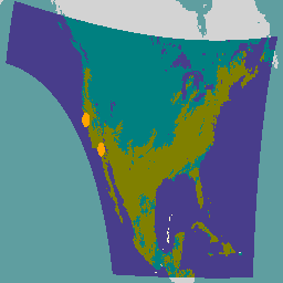
화재 (HSC) 제품에는 화재 마스크 형식의 이미지 1개와 화재 온도, 화재 면적, 화재 방사능을 나타내는 픽셀 값이 포함된 이미지 3개가 포함되어 있습니다. ABI L2+ FHS 메타데이터 마스크는 지구 탐색된 모든 픽셀에 플래그를 할당합니다. abi fdc fire goes goes-16 goes-east -
GOES-16 FDCF 시리즈 ABI 수준 2 화재/핫스팟 특성화 전체 디스크
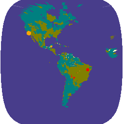
화재 (HSC) 제품에는 화재 마스크 형식의 이미지 1개와 화재 온도, 화재 면적, 화재 방사능을 나타내는 픽셀 값이 포함된 이미지 3개가 포함되어 있습니다. ABI L2+ FHS 메타데이터 마스크는 지구 탐색된 모든 픽셀에 플래그를 할당합니다. abi fdc fire goes goes-16 goes-east -
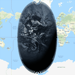
GOES-16 MCMIPC 시리즈 ABI 수준 2 구름 및 습도 이미지 CONUS

구름 및 습도 이미지 제품은 모두 2km 해상도입니다. 1~6번 밴드는 반사성입니다. 무차원 '반사율 계수' 수량은 태양 천정 각도로 정규화됩니다. 이러한 밴드는 구름, 식물, 눈/얼음, 아erosol의 특성화를 지원합니다. 7~16번 밴드는 발광 밴드입니다. 밝기 온도는 … abi atmosphere goes goes-16 goes-east goes-r -
GOES-16 MCMIPF 시리즈 ABI 수준 2 구름 및 습도 이미지 전체 디스크
구름 및 습도 이미지 제품은 모두 2km 해상도입니다. 1~6번 밴드는 반사성입니다. 무차원 '반사율 계수' 수량은 태양 천정 각도로 정규화됩니다. 이러한 밴드는 구름, 식물, 눈/얼음, 아erosol의 특성화를 지원합니다. 7~16번 밴드는 발광 밴드입니다. 밝기 온도는 … abi atmosphere goes goes-16 goes-east goes-r -
GOES-16 MCMIPM 시리즈 ABI 2단계 구름 및 습도 이미지 메조스케일

구름 및 습도 이미지 제품은 모두 2km 해상도입니다. 1~6번 밴드는 반사성입니다. 무차원 '반사율 계수' 수량은 태양 천정 각도로 정규화됩니다. 이러한 밴드는 구름, 식물, 눈/얼음, 아erosol의 특성화를 지원합니다. 7~16번 밴드는 발광 밴드입니다. 밝기 온도는 … abi atmosphere goes goes-16 goes-east goes-r
Datasets tagged goes-16 in Earth Engine
[null,null,[],[],["The GOES-16 ABI Level 2 data includes Fire/Hot Spot Characterization (HSC) and Cloud and Moisture Imagery (CMI). The HSC product offers four images: a fire mask, fire temperature, fire area, and fire radiative power, with a flag assigned to each pixel. The CMI products, at 2km resolution, have reflective bands (1-6) and emissive bands (7-16). Reflective bands aid in characterizing clouds, vegetation, snow/ice, and aerosols, while emissive bands provide brightness temperature.\n"]]