-
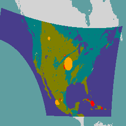
GOES-16 FDCC Series ABI Level 2 Fire/Hot Spot Characterization CONUS
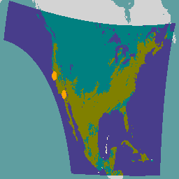
화재 (HSC) 제품에는 화재 마스크 형식의 이미지 1개와 화재 온도, 화재 면적, 화재 방사능을 나타내는 픽셀 값이 포함된 이미지 3개가 포함되어 있습니다. ABI L2+ FHS 메타데이터 마스크는 지구 탐색된 모든 픽셀에 플래그를 할당합니다. abi fdc fire goes goes-16 goes-east -
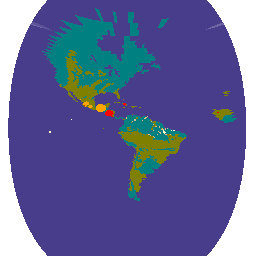
GOES-16 FDCF 시리즈 ABI 수준 2 화재/핫스팟 특성화 전체 디스크
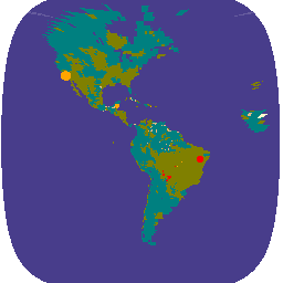
화재 (HSC) 제품에는 화재 마스크 형식의 이미지 1개와 화재 온도, 화재 면적, 화재 방사능을 나타내는 픽셀 값이 포함된 이미지 3개가 포함되어 있습니다. ABI L2+ FHS 메타데이터 마스크는 지구 탐색된 모든 픽셀에 플래그를 할당합니다. abi fdc fire goes goes-16 goes-east -
GOES-17 FDCC 시리즈 ABI 수준 2 화재/핫스팟 특성 CONUS
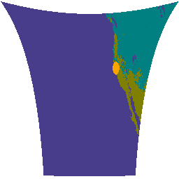
화재 (HSC) 제품에는 화재 마스크 형식의 이미지 1개와 화재 온도, 화재 면적, 화재 방사능을 나타내는 픽셀 값이 포함된 이미지 3개가 포함되어 있습니다. ABI L2+ FHS 메타데이터 마스크는 지구 탐색된 모든 픽셀에 플래그를 할당합니다. abi fdc fire goes goes-17 goes-s -
GOES-17 FDCF 시리즈 ABI 수준 2 화재/핫스팟 특성화 전체 디스크

화재 (HSC) 제품에는 화재 마스크 형식의 이미지 1개와 화재 온도, 화재 면적, 화재 방사능을 나타내는 픽셀 값이 포함된 이미지 3개가 포함되어 있습니다. ABI L2+ FHS 메타데이터 마스크는 지구 탐색된 모든 픽셀에 플래그를 할당합니다. abi fdc fire goes goes-17 goes-s -
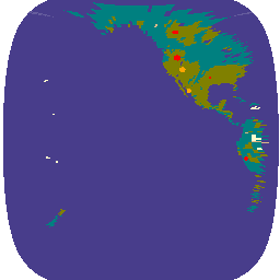
GOES-18 FDCC Series ABI Level 2 Fire/Hot Spot Characterization CONUS

화재 (HSC) 제품에는 화재 마스크 형식의 이미지 1개와 화재 온도, 화재 면적, 화재 방사능을 나타내는 픽셀 값이 포함된 이미지 3개가 포함되어 있습니다. ABI L2+ FHS 메타데이터 마스크는 지구 탐색된 모든 픽셀에 플래그를 할당합니다. abi fdc fire goes goes-18 goes-t -
GOES-18 FDCF 시리즈 ABI 수준 2 화재/핫스팟 특성화 전체 디스크
화재 (HSC) 제품에는 화재 마스크 형식의 이미지 1개와 화재 온도, 화재 면적, 화재 방사능을 나타내는 픽셀 값이 포함된 이미지 3개가 포함되어 있습니다. ABI L2+ FHS 메타데이터 마스크는 지구 탐색된 모든 픽셀에 플래그를 할당합니다. abi fdc fire goes goes-18 goes-t -
GOES-19 FDCC 시리즈 ABI 수준 2 화재/핫스팟 특성 CONUS
GOES 위성은 NOAA에서 운영하는 정지궤도 기상 위성입니다. 화재 (HSC) 제품에는 화재 마스크 형식의 이미지 1개와 화재 온도, 화재 면적, 화재 방사능을 나타내는 픽셀 값이 포함된 이미지 3개가 포함되어 있습니다. ABI L2+ FHS 메타데이터는 다음과 같습니다. abi fdc fire goes goes-19 goes-east -
GOES-19 FDCF 시리즈 ABI 수준 2 화재/핫스팟 특성화 전체 디스크
화재 (HSC) 제품에는 화재 마스크 형식의 이미지 1개와 화재 온도, 화재 면적, 화재 방사능을 나타내는 픽셀 값이 포함된 이미지 3개가 포함되어 있습니다. ABI L2+ FHS 메타데이터 마스크는 지구 탐색된 모든 픽셀에 플래그를 할당합니다. abi fdc fire goes goes-19 goes-east
Datasets tagged fdc in Earth Engine
[null,null,[],[],["The Fire/Hot Spot Characterization (HSC) product from GOES-16, GOES-17, and GOES-18 satellites provides four images: a fire mask, and three images detailing fire temperature, fire area, and fire radiative power. These products are available in both CONUS and Full Disk formats. Each earth-navigated pixel is assigned a flag through the ABI L2+ FHS metadata mask. The data is captured by the ABI (Advanced Baseline Imager).\n"]]