-
GOES-18 FDCC 시리즈 ABI 레벨 2 화재/핫스팟 특성화 CONUS
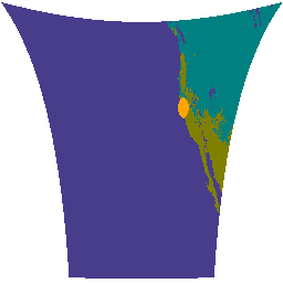
Fire (HSC) 제품에는 4개의 이미지가 포함되어 있습니다. 하나는 화재 마스크 형태이고 다른 세 개는 화재 온도, 화재 영역, 화재 복사력을 식별하는 픽셀 값을 포함합니다. ABI L2+ FHS 메타데이터 마스크는 다음을 충족하는 모든 지구 탐색 픽셀에 플래그를 할당합니다. abi fdc fire goes goes-18 goes-t -
GOES-18 FDCF 시리즈 ABI 레벨 2 Fire/Hot Spot Characterization 전체 디스크
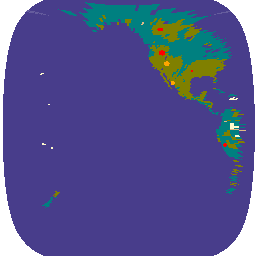
Fire (HSC) 제품에는 4개의 이미지가 포함되어 있습니다. 하나는 화재 마스크 형태이고 다른 세 개는 화재 온도, 화재 영역, 화재 복사력을 식별하는 픽셀 값을 포함합니다. ABI L2+ FHS 메타데이터 마스크는 다음을 충족하는 모든 지구 탐색 픽셀에 플래그를 할당합니다. abi fdc fire goes goes-18 goes-t -
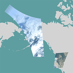
GOES-18 MCMIPC 시리즈 ABI 레벨 2 Cloud and Moisture Imagery CONUS
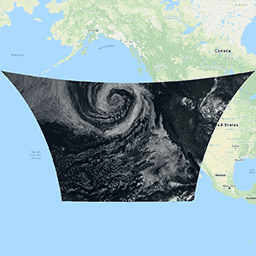
Cloud and Moisture Imagery 제품은 모두 2km 해상도입니다. 1~6번 밴드는 반사형입니다. 무차원 '반사율 계수' 수량은 태양 천정각으로 정규화됩니다. 이러한 밴드는 구름, 식물, 눈/얼음, 에어로졸의 특성화를 지원합니다. 7~16번 밴드는 방출형입니다. 밝기 온도 … abi atmosphere goes goes-18 goes-t goes-west -
GOES-18 MCMIPF 시리즈 ABI 레벨 2 Cloud and Moisture Imagery 전체 디스크
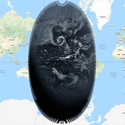
Cloud and Moisture Imagery 제품은 모두 2km 해상도입니다. 1~6번 밴드는 반사형입니다. 무차원 '반사율 계수' 수량은 태양 천정각으로 정규화됩니다. 이러한 밴드는 구름, 식물, 눈/얼음, 에어로졸의 특성화를 지원합니다. 7~16번 밴드는 방출형입니다. 밝기 온도 … abi atmosphere goes goes-18 goes-t goes-west -
GOES-18 MCMIPM 시리즈 ABI 레벨 2 Cloud and Moisture Imagery Mesoscale
Cloud and Moisture Imagery 제품은 모두 2km 해상도입니다. 1~6번 밴드는 반사형입니다. 무차원 '반사율 계수' 수량은 태양 천정각으로 정규화됩니다. 이러한 밴드는 구름, 식물, 눈/얼음, 에어로졸의 특성화를 지원합니다. 7~16번 밴드는 방출형입니다. 밝기 온도 … abi atmosphere goes goes-18 goes-t goes-west
Datasets tagged goes-t in Earth Engine
[null,null,[],[],["GOES-18 provides two main product types: Fire/Hot Spot Characterization (FHS) and Cloud and Moisture Imagery. FHS data includes a fire mask and pixel values for fire temperature, area, and radiative power. Cloud and Moisture Imagery, at 2km resolution, uses reflective (bands 1-6) and emissive bands (7-16) to characterize clouds, vegetation, snow/ice, and aerosols. Both products offer CONUS and full disk views.\n"]]