-
USGS Landsat 4 MSS Collection 2 Tier 1 Raw Scenes

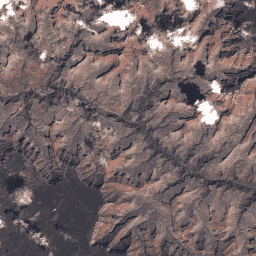
Landsat 4 MSS Collection 2 Tier 1 DN 值,表示经过缩放和校准的传感器处辐射。具有最高可用数据质量的 Landsat 场景被归入 Tier 1,并被认为适合进行时间序列处理分析。Tier 1 包含经过 Level-1 Precision Terrain (L1TP) 处理的数据,这些数据… c2 global l4 landsat lm4 mss -
USGS Landsat 4 MSS Collection 2 Tier 2 Raw Scenes
Landsat 4 MSS Collection 2 Tier 2 DN 值,表示经过缩放和校准的传感器处辐射。在处理期间不符合 Tier 1 标准的场景会被分配到 Tier 2。这包括经过 Systematic terrain (L1GT) 和 Systematic (L1GS) 处理的场景,以及任何不… c2 global l4 landsat lm4 mss
Datasets tagged lm4 in Earth Engine
[null,null,[],[],["Landsat 4 MSS Collection 2 data is categorized into Tier 1 and Tier 2. Tier 1 scenes contain the highest quality data suitable for time-series analysis, specifically Level-1 Precision Terrain (L1TP) processed data. Tier 2 includes scenes that do not meet Tier 1 criteria, such as Systematic terrain (L1GT) and Systematic (L1GS) processed scenes. Both tiers contain DN values representing scaled, calibrated at-sensor radiance and are globally available.\n"]]