Page Summary
-
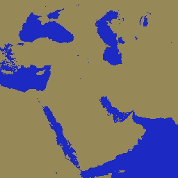
The MOD44W.005 Global Water Mask uses SWBD and MODIS data to create a 250m global map of surface water around 2000-2002.
-
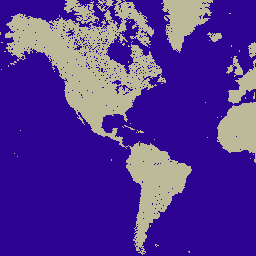
The MOD44W.006 V6 land/water mask is derived using a decision tree classifier trained and validated with MODIS and V5 data, with applied masks to address known issues.
-
MOD44W.005 Land Water Mask Derived From MODIS and SRTM

The Global Water Mask uses the SWBD (SRTM Water Body Data) in combination with MODIS 250m data to create a complete global map of surface water at 250m spatial resolution, circa 2000-2002. This dataset is intended for use in processing of raster data and for … geophysical mod44w modis srtm surface-ground-water water-mask -
MOD44W.006 Terra Land Water Mask Derived From MODIS and SRTM Yearly Global 250m

The MOD44W V6 land/water mask 250m product is derived using a decision tree classifier trained with MODIS data and validated with the MOD44W V5 product. A series of masks are applied to address known issues caused by terrain shadow, burn scars, cloudiness, or ice cover … geophysical mod44w modis nasa srtm surface-ground-water