-
MTBS 소실 지역 경계

Monitoring Trends in Burn Severity (MTBS) 소실 지역 경계 데이터 세트에는 미국 본토, 알래스카, 하와이, 푸에르토리코에서 현재 완료된 모든 MTBS 화재의 소실 지역 범위 다각형이 포함되어 있습니다. NBR은 '정규화된 연소 비율'을 나타내고 dNBR은 … eros fire gtac mtbs table usda -
번 심각도 추세 모니터링 (MTBS) 번 심각도 이미지
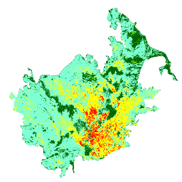
연소 심각도 모자이크는 미국 본토, 알래스카, 하와이, 푸에르토리코에서 현재 완료된 모든 MTBS 화재에 대한 MTBS 연소 심각도 등급의 주제별 래스터 이미지로 구성됩니다. 모자이크 처리된 화상 심각도 이미지는 미국 주별로 매년 컴파일되며 … eros fire forest gtac landcover landsat-derived
Datasets tagged mtbs in Earth Engine
[null,null,[],[],[]]