-
GPW Annual Dominant Class of Grasslands v1
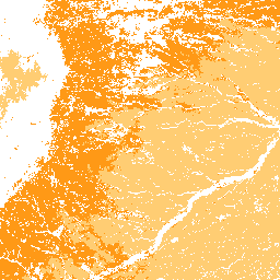
Ten zbiór danych zawiera globalne roczne mapy klas dominujących użytków zielonych (uprawianych i naturalnych/półnaturalnych) z lat 2000–2022 w rozdzielczości przestrzennej 30 m. Mapa zasięgu użytków zielonych, opracowana w ramach inicjatywy Land & Carbon Lab Global Pasture Watch, obejmuje wszystkie typy pokrycia terenu, które zawierają co najmniej… global global-pasture-watch land landcover landuse landuse-landcover -
GPW Annual Probabilities of Cultivated Grasslands v1
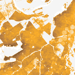
Ten zbiór danych zawiera globalne roczne mapy prawdopodobieństwa występowania uprawianych użytków zielonych w latach 2000–2022 w rozdzielczości przestrzennej 30 m. Mapa obszarów trawiastych została opracowana w ramach inicjatywy Land & Carbon Lab Global Pasture Watch. Obejmuje ona wszystkie rodzaje pokrycia terenu, które zawierają co najmniej 30% … global global-pasture-watch land landcover landuse landuse-landcover -
Roczne prawdopodobieństwa występowania naturalnych i półnaturalnych użytków zielonych w GPW w wersji 1
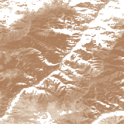
Ten zbiór danych zawiera globalne roczne mapy prawdopodobieństwa występowania naturalnych i półnaturalnych łąk w latach 2000–2022 w rozdzielczości przestrzennej 30 m. Mapa obszarów trawiastych została opracowana w ramach inicjatywy Land & Carbon Lab Global Pasture Watch. Obejmuje ona wszystkie rodzaje pokrycia terenu, które zawierają co najmniej 30% … global global-pasture-watch land landcover landuse landuse-landcover -
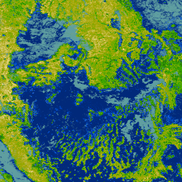
RCMAP Rangeland Component Timeseries (1985-2023), v06
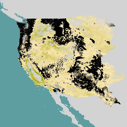
„Zbiór danych RCMAP (Rangeland Condition Monitoring Assessment and Projection) określa procent pokrycia komponentów pastwisk w zachodniej części Ameryki Północnej na podstawie zdjęć Landsat z lat 1985–2023. Pakiet produktów RCMAP składa się z 10 komponentów ułamkowych: roczne rośliny zielne, nieporośnięty teren, rośliny zielne, ściółka, krzewy inne niż bylica, wieloletnie rośliny zielne, bylica … climate-change disturbance landsat-derived landuse-landcover nlcd rangeland -
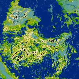
RCMAP Rangeland Trends Year for Component Timeseries (1985-2023), v06
Kolekcja obejmuje roczne produkty RCMAP z lat 1985–2023. Zbiór danych RCMAP (Rangeland Condition Monitoring Assessment and Projection) określa procent pokrycia komponentów pastwisk w zachodniej części Ameryki Północnej na podstawie zdjęć Landsat z lat 1985–2023. Pakiet produktów RCMAP składa się z 10 komponentów ułamkowych: roczny… climate-change disturbance landsat-derived landuse-landcover nlcd rangeland -
RCMAP Rangeland Trends for Component Timeseries (1985-2023), v06
Zbiór danych RCMAP (Rangeland Condition Monitoring Assessment and Projection) określa procent pokrycia komponentów pastwisk w zachodniej części Ameryki Północnej na podstawie zdjęć Landsat z lat 1985–2023. Pakiet produktów RCMAP składa się z 10 komponentów ułamkowych: roczne rośliny zielne, nieporośnięty teren, rośliny zielne, ściółka, krzewy inne niż bylica, wieloletnie rośliny zielne, bylica … climate-change disturbance landsat-derived landuse-landcover nlcd rangeland
Datasets tagged rangeland in Earth Engine
[null,null,[],[],[]]