 Google uses AI technology to translate content into your preferred language. AI translations can contain errors.
Einer Karte ein Polygon hinzufügen
Mit Sammlungen den Überblick behalten
Sie können Inhalte basierend auf Ihren Einstellungen speichern und kategorisieren.
Plattform auswählen:
Android
iOS
Sie können einer 3D-Karte ein Polygon hinzufügen.
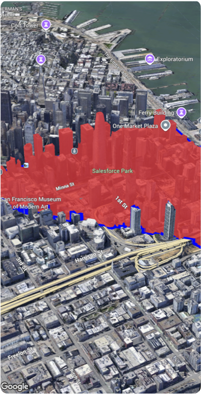
Im folgenden Codebeispiel wird gezeigt, wie Sie mit der Struktur Polygon ein 3D‑Polygon hinzufügen und auf der Karte positionieren.
  Map(mode: .hybrid) {
    Polygon(
      path: [
        .init(latitude: 37.7749, longitude: -122.4194, altitude: 0),
        .init(latitude: 37.7740, longitude: -122.4184, altitude: 0),
        .init(latitude: 37.7750, longitude: -122.4174, altitude: 0),
      ]
    )
  }
Sofern nicht anders angegeben, sind die Inhalte dieser Seite unter der Creative Commons Attribution 4.0 License und Codebeispiele unter der Apache 2.0 License lizenziert. Weitere Informationen finden Sie in den Websiterichtlinien von Google Developers. Java ist eine eingetragene Marke von Oracle und/oder seinen Partnern.
Zuletzt aktualisiert: 2026-05-31 (UTC).
[null,null,["Zuletzt aktualisiert: 2026-05-31 (UTC)."],[],[]]
