-
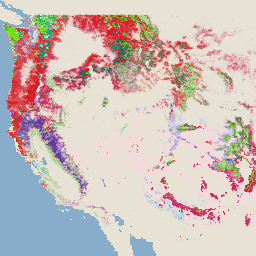
Global Aboveground and Belowground Biomass Carbon Density Maps
This dataset provides temporally consistent and harmonized global maps of aboveground and belowground biomass carbon density for the year 2010 at a 300-m spatial resolution. The aboveground biomass map integrates land-cover specific, remotely sensed maps of woody, grassland, cropland, and tundra biomass. Input maps were … aboveground biomass carbon density forest nasa -
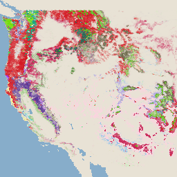
Global 2020 Forest Classification for IPCC Aboveground Biomass Tier 1 Estimates, V1
This dataset provides classes of global forests delineated by status/condition in 2020 at approximately 30m resolution. The data support generating Tier 1 estimates for Aboveground dry woody Biomass Density (AGBD) in natural forests in the 2019 Refinement to the 2006 IPCC Guidelines for National Greenhouse … aboveground biomass carbon classification forest ipcc -
WHRC Pantropical National Level Carbon Stock Dataset
A national-level map of above-ground live woody biomass density for tropical countries at 500m. This dataset was assembled from a combination of co-located field measurements, LiDAR observations, and imagery recorded from the Moderate Resolution Imaging Spectroradiometer (MODIS). aboveground biomass carbon geophysical umd
[null,null,[],[[["These datasets offer global and pantropical maps of biomass carbon density, primarily focusing on aboveground biomass."],["They utilize a variety of data sources, including remotely sensed imagery, field measurements, and LiDAR observations, to provide estimates at various spatial resolutions (30m, 300m, 500m)."],["One dataset specifically supports the IPCC's aboveground biomass estimation methodology for national greenhouse gas inventories."],["The datasets cover different time periods, including a temporally consistent view for 2010 and forest classifications for 2020."]]],[]]