-
NOAA CDR AVHRR LAI FAPAR: 葉面積指数と光合成有効放射吸収率、バージョン 5

AVHRR 葉面積指数(LAI)と光合成有効放射吸収率(FAPAR)の NOAA 気候データ記録(CDR)データセットには、植物の樹冠と光合成活動を特徴付ける派生値が含まれています。このデータセットは NOAA AVHRR 地表反射率プロダクトから派生したもので、… avhrr cdr daily fapar lai land -
NOAA CDR VIIRS LAI FAPAR: 葉面積指数と光合成有効放射吸収率、バージョン 1

この気候データ記録(CDR)は、葉面積指数(LAI)と光合成有効放射吸収率(FAPAR)のデータセットを組み合わせたものです。これらは、植生のストレスの評価、農業収量の予測、その他のモデリングやリソース管理のアプリケーションに使用できる 2 つの生物物理学的変数です。LAI は、片側 … cdr daily fapar lai land noaa -
OpenLandMap Potential FAPAR Monthly
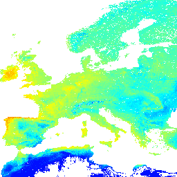
潜在的な自然植生の FAPAR の月間中央値の予測(PROB-V FAPAR 2014 ~ 2017 に基づく)。説明。Earth Engine の外部で地図にアクセスして可視化するには、このページを使用します。LandGIS マップでバグ、アーティファクト、不整合が見つかった場合や、ご質問がある場合は、… envirometrix fapar monthly opengeohub openlandmap plant-productivity
Datasets tagged fapar in Earth Engine
[null,null,[],[],[]]